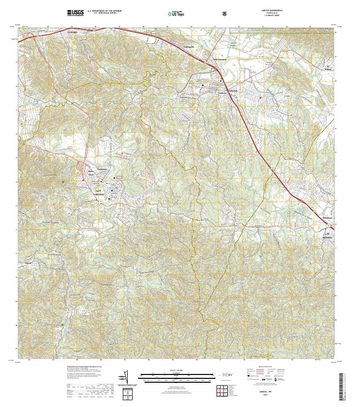
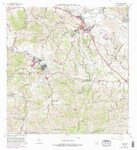
2024 Map of Juncos
USGS Topo · Published 2024About this map
Juncos and San Lorenzo anchor this modern landscape where the Rio Gurabo and Rio Valenciano converge. The terrain is defined by a dense network of residential sectors and municipal centers, including Valencia and Villa Graciela, alongside the industrial legacy of Central Juncos. To the south, the Rio Grande de Loiza flows past Santa Clara and Roosevelt, winding through the foothills below Cerro Santa Ana. Local history is preserved in the Cementerio Municipal Viejo de Juncos and Cementerio El Remanso, while the northeastern corner reaches into the protected slopes of El Yunque National Forest. The road network is heavily developed, with Expreso Chayane and Carr 189 facilitating movement between the urban cores and outlying settlements like Piedra Blanca and Cantagallo.
Find a feature on this map
57 named features on this map. Tap any name to fly to it.
Don’t see what you’re looking for? This feature index may not catch every label — zoom into the map to look around manually.
Map Details
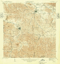
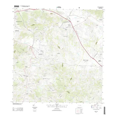
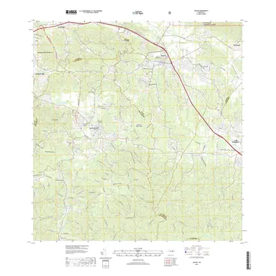
Editions of this 2024 Juncos Map
This is the sole edition of this map. No revisions or reprints were ever made.
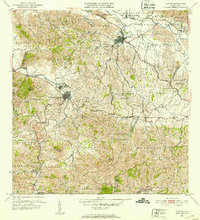
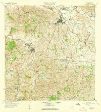
Historical Maps of San Lorenzo Through Time
7 maps found
Featured Locations
- La Placita, Juncos
- Sector Collazo II, Juncos
- Sector Los Mendoza, Juncos
- Juncos, Juncos
- San Lorenzo, San Lorenzo