
1970 Map of Junction City
USGS Topo · Published 1972About this map
The Soo Line and the Chicago Milwaukee St Paul and Pacific railroads intersect at Junction City, defining the transport character of this central Wisconsin landscape during the early 1970s. This survey captures a rural environment organized by the rectilinear grid of the Wood and Portage county line, where small dairy-country settlements like Milladore serve as local hubs. The area is dotted with significant local history sites, including St Wenceslaus Ch and several burial grounds such as St Michael Cem and Union Cem.
Find a feature on this map
29 named features on this map. Tap any name to fly to it.
Don’t see what you’re looking for? This feature index may not catch every label — zoom into the map to look around manually.
Map Details
Editions of this 1970 Junction City Map
This is the sole edition of this map. No revisions or reprints were ever made.
Other maps of this area

1955 · Green Bay
USGS Topo · 1:250,000

1956 · Milladore
USGS Topo · 1:48,000

1956 · Stevens Point
USGS Topo · 1:48,000

1957 · Wisconsin Rapids
USGS Topo · 1:48,000

1957 · Whiting
USGS Topo · 1:48,000

1967 · Wisconsin Rapids
USGS Topo · 1:62,500
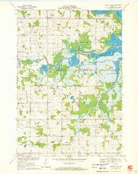
1970 · Honey Island
USGS Topo · 1:24,000
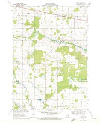
1970 · Sherry
USGS Topo · 1:24,000
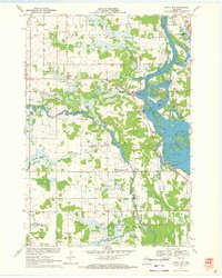
1970 · Rocky Run
USGS Topo · 1:24,000
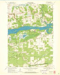
1970 · Meehan
USGS Topo · 1:24,000