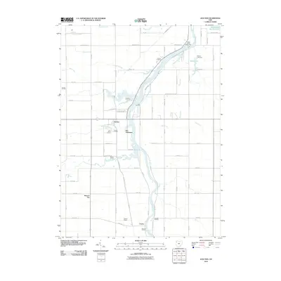
2010 Map of Junction
USGS Topo · Published 2010About this map
The Auglaize River dominates the landscape south of the Defiance County line, winding through a corridor of agricultural tracts and small settlements. The community of Junction sits near the confluence of Little Flatrock Creek and the main river, serving as a focal point for local history with its namesake Junction Cemetery and Saint Marys Cemetery nearby. Further south, the settlement of Charloe is situated alongside the river, accompanied by the Charloe Airport and the Blakeslee Cemetery.
Find a feature on this map
81 named features on this map. Tap any name to fly to it.
Don’t see what you’re looking for? This feature index may not catch every label — zoom into the map to look around manually.
Map Details
Editions of this 2010 Junction Map
This is the sole edition of this map. No revisions or reprints were ever made.
Other maps of this area

1907 · Defiance
USGS Topo · 1:62,500

1909 · Defiance
USGS Topo · 1:62,500

1909 · Continental
USGS Topo · 1:62,500

1914 · Bryan
USGS Topo · 1:62,500

1914 · Paulding
USGS Topo · 1:62,500

1943 · Bryan
USGS Topo · 1:62,500

1944 · Paulding
USGS Topo · 1:62,500

1953 · Fort Wayne
USGS Topo · 1:250,000

1956 · Fort Wayne
USGS Topo · 1:250,000

1959 · Defiance East
USGS Topo · 1:24,000