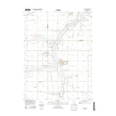
2013 Map of Junction
USGS Topo · Published 2013About this map
The Auglaize River carves a winding path through this western Ohio landscape, serving as a primary geographical anchor near the border of Paulding and Defiance counties. The area is defined by its small agricultural settlements and historically significant burial sites, such as the Saint Marys and Junction cemeteries. In the southern portion of the quadrangle, the community of Charloe sits near the riverbanks, supported by the local Charloe Airport.
Find a feature on this map
131 named features on this map. Tap any name to fly to it.
Don’t see what you’re looking for? This feature index may not catch every label — zoom into the map to look around manually.
Map Details
Editions of this 2013 Junction Map
This is the sole edition of this map. No revisions or reprints were ever made.
Other maps of this area

1907 · Defiance
USGS Topo · 1:62,500

1909 · Defiance
USGS Topo · 1:62,500

1909 · Continental
USGS Topo · 1:62,500

1914 · Bryan
USGS Topo · 1:62,500

1914 · Paulding
USGS Topo · 1:62,500

1943 · Bryan
USGS Topo · 1:62,500

1944 · Paulding
USGS Topo · 1:62,500

1953 · Fort Wayne
USGS Topo · 1:250,000

1956 · Fort Wayne
USGS Topo · 1:250,000

1959 · Defiance East
USGS Topo · 1:24,000