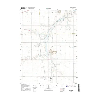
2016 Map of Junction
USGS Topo · Published 2016About this map
The Auglaize River flows northward through this portion of Northwest Ohio, carving a winding path between the small settlements of Junction and Charloe. This river corridor serves as the primary geographical anchor for the region, where the terrain is marked by a series of numbered drainage runs including Threemile Cr, Fivemile Cr, and Sixmile Cr. For genealogists and local historians, the landscape preserves a high density of small family and community burial grounds, such as Dotterer Cem, Sherman Cem, and Blakeslee Cem, which remain scattered among the agricultural plots.
Find a feature on this map
128 named features on this map. Tap any name to fly to it.
Don’t see what you’re looking for? This feature index may not catch every label — zoom into the map to look around manually.
Map Details
Editions of this 2016 Junction Map
This is the sole edition of this map. No revisions or reprints were ever made.
Other maps of this area

1907 · Defiance
USGS Topo · 1:62,500

1909 · Defiance
USGS Topo · 1:62,500

1909 · Continental
USGS Topo · 1:62,500

1914 · Bryan
USGS Topo · 1:62,500

1914 · Paulding
USGS Topo · 1:62,500

1943 · Bryan
USGS Topo · 1:62,500

1944 · Paulding
USGS Topo · 1:62,500

1953 · Fort Wayne
USGS Topo · 1:250,000

1956 · Fort Wayne
USGS Topo · 1:250,000

1959 · Defiance East
USGS Topo · 1:24,000