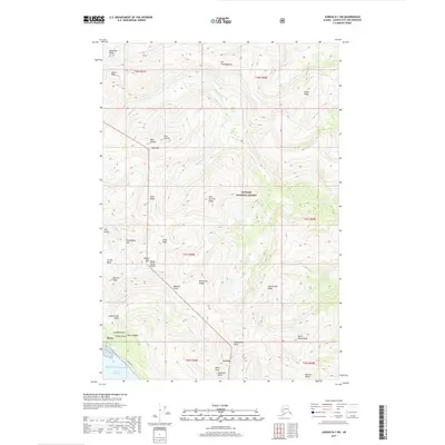
2017 Map of Juneau B-1 SW
USGS Topo · Published 2017About this map
Thane sits on the shores of the Gastineau Channel, representing a pocket of coastal settlement surrounded by the high-elevation wilderness of the Tongass National Forest. The landscape is defined by steep glacial drainages and prominent summits such as Hawthorne Peak, Olds Mtn, and Deadview Peak. Transportation is concentrated along the shoreline via Thane Road, which connects the community to the broader region. The interior is a complex network of basins and gulches, including Sheep Creek Basin, Glacier Basin, and Goldstein Gulch. Numerous watercourses like Sheep Cr and Salmon Fork flow from the high ridges toward the Gulf of Alaska, punctuated by landmarks such as Lost Rocker Falls. This topography illustrates the character of the Alaska Panhandle, where development is constrained to the narrow margin between the mountains and the sea.
Find a feature on this map
53 named features on this map. Tap any name to fly to it.
Don’t see what you’re looking for? This feature index may not catch every label — zoom into the map to look around manually.
Map Details
Editions of this 2017 Juneau B-1 SW Map
This is the sole edition of this map. No revisions or reprints were ever made.
Other maps of this area

1947 · Juneau B-2
USGS Topo · 1:63,360

1948 · Juneau B-1
USGS Topo · 1:63,360

1949 · Juneau B-2
USGS Topo · 1:62,500

1951 · Juneau
USGS Topo · 1:250,000

1951 · Juneau A-2
USGS Topo · 1:63,360

1951 · Juneau A-1
USGS Topo · 1:63,360

1952 · Juneau B-1
USGS Topo · 1:63,360

1954 · Juneau A-1
USGS Topo · 1:63,360

1962 · Juneau B-2
USGS Topo · 1:63,360

1962 · Juneau
USGS Topo · 1:250,000