
1951 Map of Juneau A-2
USGS Topo · Published 1956About this map
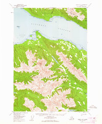
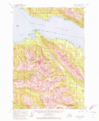
Douglas Island and the northern reaches of Admiralty Island dominate this mid-century coastal survey. The map reveals the intricate water network of Stephens Passage and Gastineau Channel, defined by prominent maritime landmarks like Point Hilda and Admiralty Cove. A defining industrial feature is the Treadwell Ditch, which snakes along the slopes of Douglas Island below Mt Bradley and Mc Donough Peak, indicating the scale of water management required for the region's historic mining operations.
Find a feature on this map
34 named features on this map. Tap any name to fly to it.
Don’t see what you’re looking for? This feature index may not catch every label — zoom into the map to look around manually.
Map Details
Editions of this 1951 Juneau A-2 Map
3 editions found
Other maps of this area

1947 · Juneau B-3
USGS Topo · 1:63,360

1947 · Juneau B-2
USGS Topo · 1:63,360

1948 · Juneau A-3
USGS Topo · 1:63,360

1948 · Sitka D-1
USGS Topo · 1:63,360

1948 · Sitka D-3
USGS Topo · 1:63,360

1948 · Sitka D-2
USGS Topo · 1:63,360

1948 · Juneau B-1
USGS Topo · 1:63,360

1949 · Juneau B-3
USGS Topo · 1:62,500

1949 · Juneau B-2
USGS Topo · 1:62,500

1950 · Juneau A-3
USGS Topo · 1:63,360