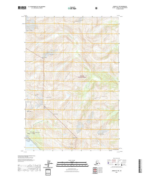
2021 Map of Juneau B-1 SW
USGS Topo · Published 2021About this map
Thane sits along the shoreline of the Gastineau Channel on this 2021 survey, serving as a primary point of entry for the drainage basins and mineral-rich gulches of the Tongass National Forest. The map documents a vertical landscape defined by steep ridges and glacial activity, where Thane Road provides the only coastal corridor beneath the heights of Roberts Peak. The concentration of named gulches and basins, such as Glacier Basin, Lost Rocker Gulch, and Timber Gulch, points to a history of geological exploration and resource management in the areas flanking Sheep Creek Basin.
Find a feature on this map
54 named features on this map. Tap any name to fly to it.
Don’t see what you’re looking for? This feature index may not catch every label — zoom into the map to look around manually.
Map Details
Editions of this 2021 Juneau B-1 SW Map
This is the sole edition of this map. No revisions or reprints were ever made.
Other maps of this area

1947 · Juneau B-2
USGS Topo · 1:63,360

1948 · Juneau B-1
USGS Topo · 1:63,360

1949 · Juneau B-2
USGS Topo · 1:62,500

1951 · Juneau
USGS Topo · 1:250,000

1951 · Juneau A-2
USGS Topo · 1:63,360

1951 · Juneau A-1
USGS Topo · 1:63,360

1952 · Juneau B-1
USGS Topo · 1:63,360

1954 · Juneau A-1
USGS Topo · 1:63,360

1962 · Juneau B-2
USGS Topo · 1:63,360

1962 · Juneau
USGS Topo · 1:250,000