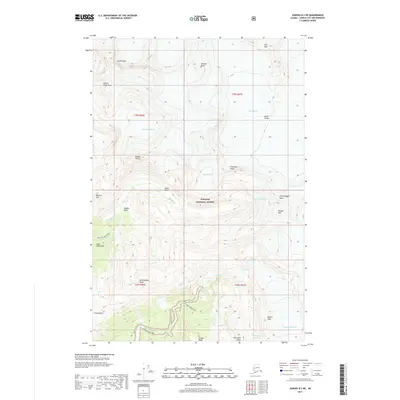
2017 Map of Juneau B-2 NE
USGS Topo · Published 2017About this map
Mendenhall Glacier and Norris Glacier dominate this subarctic landscape within the Tongass National Forest. The map documents the high-elevation glacial systems and drainage basins of the Coast Mountains, where ice fields feed prominent waterways like Lemon Creek and Nugget Creek. Human access to this interior wilderness is marked by the Nugget Creek Trail and Lemon Creek Trail, providing routes through the steep transitions from valley floors to high ridges. Notable landmarks include the dramatic North Nugget Spire and the ironically named Death Valley located between major ice flows. The presence of Tlaxsatánjin represents a localized point of interest within a terrain otherwise defined by severe natural features like Two Echo Cliffs and Heintzleman Ridge.
Find a feature on this map
73 named features on this map. Tap any name to fly to it.
Don’t see what you’re looking for? This feature index may not catch every label — zoom into the map to look around manually.
Map Details
Editions of this 2017 Juneau B-2 NE Map
This is the sole edition of this map. No revisions or reprints were ever made.
Other maps of this area

1947 · Juneau B-2
USGS Topo · 1:63,360

1948 · Juneau B-1
USGS Topo · 1:63,360

1949 · Juneau B-2
USGS Topo · 1:62,500

1951 · Juneau
USGS Topo · 1:250,000

1952 · Juneau B-1
USGS Topo · 1:63,360

1960 · Juneau C-2
USGS Topo · 1:63,360

1960 · Juneau C-1
USGS Topo · 1:63,360

1962 · Juneau B-2
USGS Topo · 1:63,360

1962 · Juneau
USGS Topo · 1:250,000
1986 · Juneau B-1 SW
USGS Topo · 1:25,000