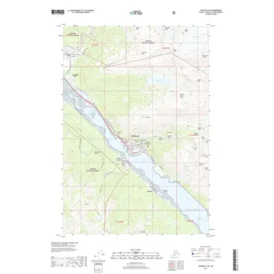
2017 Map of Juneau B-2 SE
USGS Topo · Published 2017About this map
Juneau serves as the focal point of this coastal survey, where the urban grid meets the steep ascent of Mount Juneau. The landscape is defined by the Gastineau Channel, which separates the capital from West Juneau and Douglas on Douglas Island. Along the mainland coast, infrastructure like the Egan Drive connects the city to Norway Point and the commercial corridor near Lemon Creek.
Find a feature on this map
88 named features on this map. Tap any name to fly to it.
Don’t see what you’re looking for? This feature index may not catch every label — zoom into the map to look around manually.
Map Details
Editions of this 2017 Juneau B-2 SE Map
This is the sole edition of this map. No revisions or reprints were ever made.
Other maps of this area

1947 · Juneau B-2
USGS Topo · 1:63,360

1948 · Juneau B-1
USGS Topo · 1:63,360

1949 · Juneau B-2
USGS Topo · 1:62,500

1951 · Juneau
USGS Topo · 1:250,000

1951 · Juneau A-2
USGS Topo · 1:63,360

1951 · Juneau A-1
USGS Topo · 1:63,360

1952 · Juneau B-1
USGS Topo · 1:63,360

1954 · Juneau A-1
USGS Topo · 1:63,360

1962 · Juneau B-2
USGS Topo · 1:63,360

1962 · Juneau
USGS Topo · 1:250,000