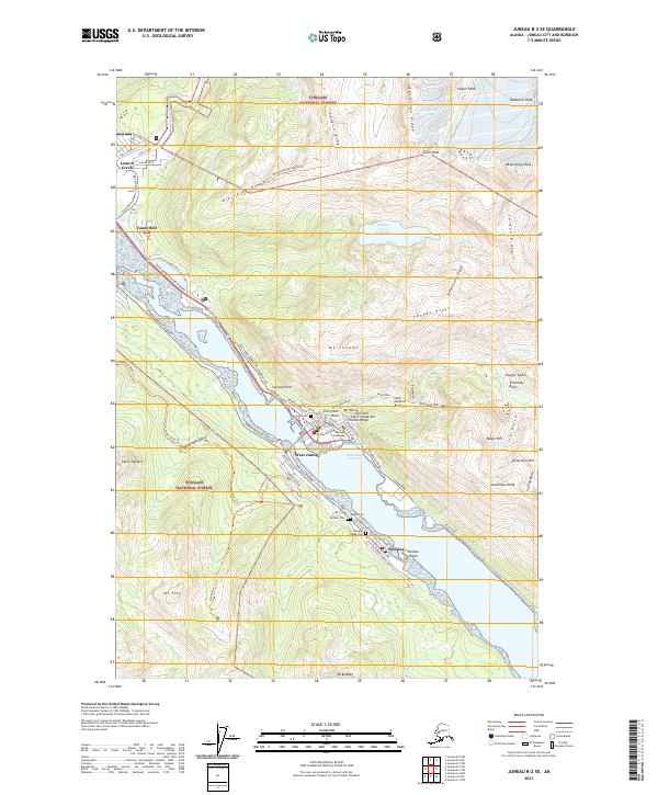
2021 Map of Juneau B-2 SE
USGS Topo · Published 2021About this map
Gastineau Channel serves as the central artery for this southeastern Alaska landscape, dividing the mainland heights from Juneau Island and the slopes of Mt Troy. The coastal topography is defined by steep ridges and glacial basins, where neighborhoods like Chicken Ridge, Starr Hill, and Court House Hill cling to the rising terrain above the waterfront. Along the channel, the Diamond Courthouse stands near the civic heart of the area, while burial grounds including Evergreen Cem and the Douglas Indian Cem provide significant genealogical markers for the community.
Find a feature on this map
86 named features on this map. Tap any name to fly to it.
Don’t see what you’re looking for? This feature index may not catch every label — zoom into the map to look around manually.
Map Details
Editions of this 2021 Juneau B-2 SE Map
This is the sole edition of this map. No revisions or reprints were ever made.
Other maps of this area

1947 · Juneau B-2
USGS Topo · 1:63,360

1948 · Juneau B-1
USGS Topo · 1:63,360

1949 · Juneau B-2
USGS Topo · 1:62,500

1951 · Juneau
USGS Topo · 1:250,000

1951 · Juneau A-2
USGS Topo · 1:63,360

1951 · Juneau A-1
USGS Topo · 1:63,360

1952 · Juneau B-1
USGS Topo · 1:63,360

1954 · Juneau A-1
USGS Topo · 1:63,360

1962 · Juneau B-2
USGS Topo · 1:63,360

1962 · Juneau
USGS Topo · 1:250,000