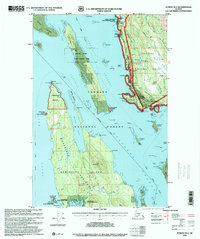
1996 Map of Juneau B-3
USGS Topo · Published 2000About this map
Admiralty Island and the rugged Mansfield Peninsula anchor the southern half of this coastal survey, where the isolated settlement of Funter sits on the shores of Funter Bay. This maritime landscape is defined by the Lynn Canal and Stephens Passage, serving as a critical junction for the Alaska Marine Highway. Near the Cannery Ruins at Crab Cove, the map reveals a history of industrial activity and seasonal residency within the Funter Bay State Marine Park.
Find a feature on this map
108 named features on this map. Tap any name to fly to it.
Don’t see what you’re looking for? This feature index may not catch every label — zoom into the map to look around manually.
Map Details
Editions of this 1996 Juneau B-3 Map
This is the sole edition of this map. No revisions or reprints were ever made.
Other maps of this area

1947 · Juneau B-3
USGS Topo · 1:63,360

1947 · Juneau B-2
USGS Topo · 1:63,360

1948 · Juneau B-4
USGS Topo · 1:63,360

1948 · Juneau A-3
USGS Topo · 1:63,360

1948 · Juneau C-4
USGS Topo · 1:63,360

1948 · Juneau A-4
USGS Topo · 1:63,360

1949 · Juneau B-3
USGS Topo · 1:62,500

1949 · Juneau B-2
USGS Topo · 1:62,500

1949 · Juneau C-4
USGS Topo · 1:63,360

1949 · Juneau B-4
USGS Topo · 1:63,360