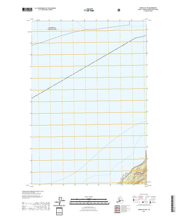
2021 Map of Juneau B-6 SW
USGS Topo · Published 2021About this map
Glacier Bay National Park and the Tongass National Forest converge on this remote coastal landscape within the Hoonah-Angoon Census Area. The map highlights the high-latitude terrain and complex coastal environment of Southeast Alaska, featuring the landform known as Kaashageeyí. The area is defined by the intersection of several township and range boundaries, including t40s r57e, t41s r58e, and t42s r59e, which coordinate the surveying of these federal lands. This 2021 update documents the contemporary shoreline and topographic contours of this protected wilderness, serving as a record of the boundary lines where two of Alaska's major national land reserves meet.
Find a feature on this map
9 named features on this map. Tap any name to fly to it.
Don’t see what you’re looking for? This feature index may not catch every label — zoom into the map to look around manually.
Map Details
Editions of this 2021 Juneau B-6 SW Map
This is the sole edition of this map. No revisions or reprints were ever made.
Other maps of this area

1948 · Juneau B-6
USGS Topo · 1:63,360

1948 · Mount Fairweather B-1
USGS Topo · 1:63,360

1948 · Mount Fairweather A-1
USGS Topo · 1:63,360

1951 · Juneau
USGS Topo · 1:250,000

1951 · Juneau A-6
USGS Topo · 1:63,360

1951 · Mt Fairweather
USGS Topo · 1:250,000

1954 · Mount Fairweather A-1
USGS Topo · 1:63,360

1961 · Mt Fairweather
USGS Topo · 1:250,000

1962 · Juneau
USGS Topo · 1:250,000
2000 · Juneau A-6
USGS Topo · 1:63,360