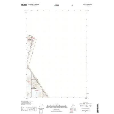
2017 Map of Juneau D-1 NW
USGS Topo · Published 2017About this map
Boundary Peak 96 stands as a prominent topographical marker on this international borderland where the United States of America and Canada meet. The high-altitude terrain of the Juneau Borough is largely defined by the protected lands of the Tongass National Forest, which spans several townships including t33s r66e and t34s r67e. This specific 2017 survey by the U.S. Geological Survey captures the precise alignment of the Alaska and British Columbia boundary through a remote, glaciated landscape. The map provides clear evidence of the complex administrative divisions that govern these northern territories, illustrating the intersection of national borders, borough limits, and the public land survey system.
Find a feature on this map
10 named features on this map. Tap any name to fly to it.
Don’t see what you’re looking for? This feature index may not catch every label — zoom into the map to look around manually.
Map Details
Editions of this 2017 Juneau D-1 NW Map
This is the sole edition of this map. No revisions or reprints were ever made.
Other maps of this area

1949 · Atlin
USGS Topo · 1:250,000

1951 · Juneau
USGS Topo · 1:250,000

1951 · Atlin
USGS Topo · 1:250,000

1960 · Juneau D-1
USGS Topo · 1:63,360

1960 · Juneau D-2
USGS Topo · 1:63,360
1960 · Atlin A-7
USGS Topo · 1:63,360

1960 · Atlin
USGS Topo · 1:250,000

1962 · Juneau
USGS Topo · 1:250,000
1997 · Juneau D-2
USGS Topo · 1:63,360
2004 · Atlin A-7
USGS Topo · 1:63,360