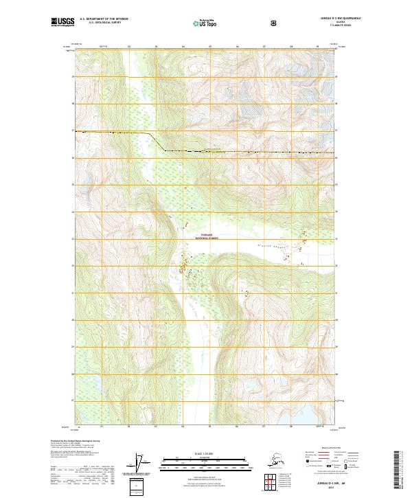
2021 Map of Juneau D-3 NW
USGS Topo · Published 2021About this map
Tongass National Forest dominates this Alaskan landscape, where the braided channels of the Lace River and the Berners River converge. The topography is defined by the steep-walled Granite Canyon, revealing the intricate drainage patterns of the coastal mountains just north of Juneau. This 2021 survey illustrates the complex jurisdictional boundary of the Haines Borough Juneau City and Borough, cutting across high ridgelines and glacial valleys. The map is a study in pristine wilderness hydrography, showing the extensive wetlands and seasonal floodplains that characterize the river mouths as they flow toward the sea.
Find a feature on this map
9 named features on this map. Tap any name to fly to it.
Don’t see what you’re looking for? This feature index may not catch every label — zoom into the map to look around manually.
Map Details
Editions of this 2021 Juneau D-3 NW Map
This is the sole edition of this map. No revisions or reprints were ever made.
Other maps of this area

1948 · Juneau D-3
USGS Topo · 1:63,360

1948 · Skagway A-1
USGS Topo · 1:63,360

1949 · Atlin
USGS Topo · 1:250,000

1949 · Juneau D-4
USGS Topo · 1:63,360

1949 · Juneau D-3
USGS Topo · 1:63,360

1951 · Juneau
USGS Topo · 1:250,000

1951 · Skagway A-1
USGS Topo · 1:63,360

1951 · Atlin
USGS Topo · 1:250,000

1951 · Juneau D-4
USGS Topo · 1:63,360

1952 · Skagway
USGS Topo · 1:250,000