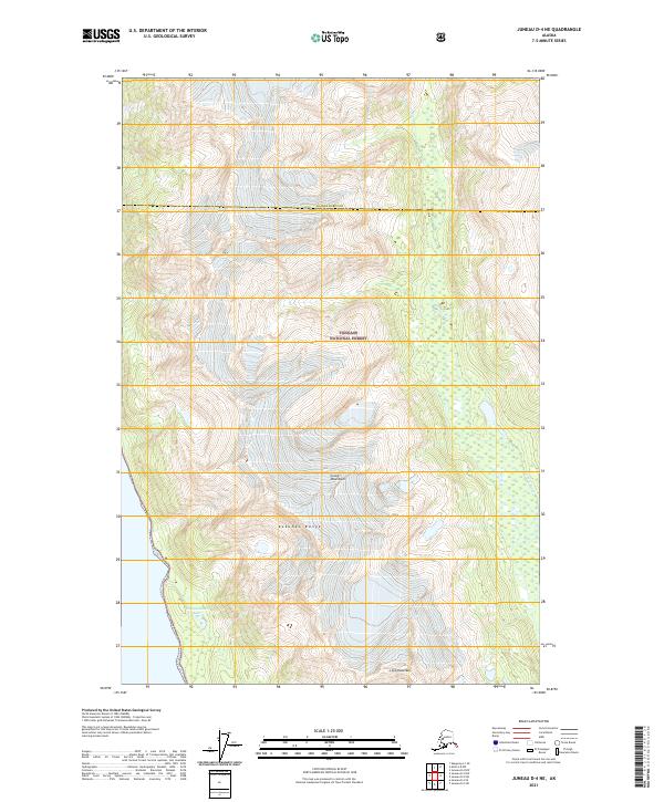
2021 Map of Juneau D-4 NE
USGS Topo · Published 2021About this map
The Tongass National Forest dominates this Alaskan landscape, characterized by the dramatic elevations of the Coast Mountains. Within this wilderness, the Kakuhan Range runs through the central and southern portions of the quadrangle, culminating at the prominent Lions Head Mtn near the southern boundary. This map captures a remote section of the Haines Borough and Juneau City and Borough border, where the glacial influence on the terrain is evident in the drainage patterns of the Berners River and the secluded Independence Lake. The absence of roads or established settlements underscores the primitive state of this coastal environment, serving as a baseline for the region's geography in the early twenty-first century.
Find a feature on this map
11 named features on this map. Tap any name to fly to it.
Don’t see what you’re looking for? This feature index may not catch every label — zoom into the map to look around manually.
Map Details
Editions of this 2021 Juneau D-4 NE Map
This is the sole edition of this map. No revisions or reprints were ever made.
Other maps of this area

1948 · Juneau D-3
USGS Topo · 1:63,360

1948 · Skagway A-1
USGS Topo · 1:63,360

1949 · Atlin
USGS Topo · 1:250,000

1949 · Juneau D-4
USGS Topo · 1:63,360

1949 · Juneau D-3
USGS Topo · 1:63,360

1951 · Juneau
USGS Topo · 1:250,000

1951 · Skagway A-1
USGS Topo · 1:63,360

1951 · Atlin
USGS Topo · 1:250,000

1951 · Juneau D-4
USGS Topo · 1:63,360

1952 · Skagway
USGS Topo · 1:250,000