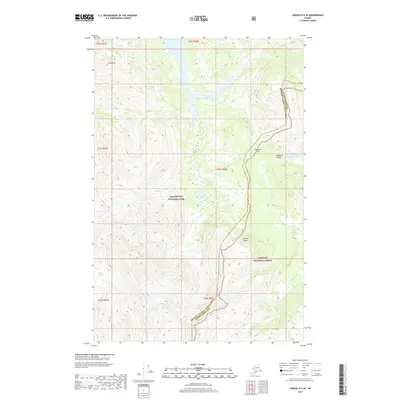
2017 Map of Juneau D-6 SE
USGS Topo · Published 2017About this map
Glacier Bay National Park and the Tongass National Forest converge in this high-altitude landscape within the Unorganized Borough of Alaska. The area is defined by the massive Adams Glacier in the southwest, feeding into a complex hydrological system that includes the Bear Track River. The eastern portion of the map is dominated by the Chilkat Range, where the Endicott River carves through the Endicott Valley after passing through Endicott Gap. This wilderness corridor serves as a significant boundary line between the Haines Borough and Hoonah-Angoon Census Area. The lack of human infrastructure highlights the preservation of this glacial environment, where prominent peaks like Tree Mtn overlook Endicott Lake in a region accessible primarily by air or water.
Find a feature on this map
12 named features on this map. Tap any name to fly to it.
Don’t see what you’re looking for? This feature index may not catch every label — zoom into the map to look around manually.
Map Details
Editions of this 2017 Juneau D-6 SE Map
This is the sole edition of this map. No revisions or reprints were ever made.
Other maps of this area

1948 · Juneau C-5
USGS Topo · 1:63,360

1948 · Juneau C-6
USGS Topo · 1:63,360

1949 · Juneau D-6
USGS Topo · 1:63,360

1949 · Juneau D-5
USGS Topo · 1:63,360

1950 · Juneau C-6
USGS Topo · 1:63,360

1951 · Juneau
USGS Topo · 1:250,000

1962 · Juneau
USGS Topo · 1:250,000
1996 · Juneau D-5
USGS Topo · 1:63,360
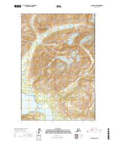
2017 · Juneau D-6 NE
USGS Topo · 1:25,000
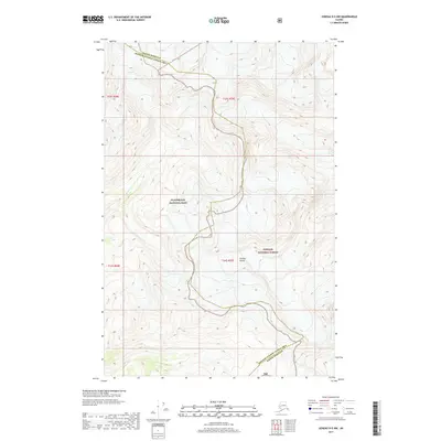
2017 · Juneau D-5 NW
USGS Topo · 1:25,000