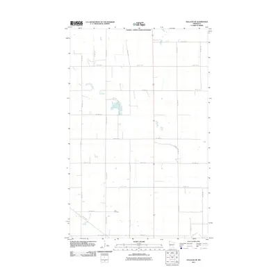
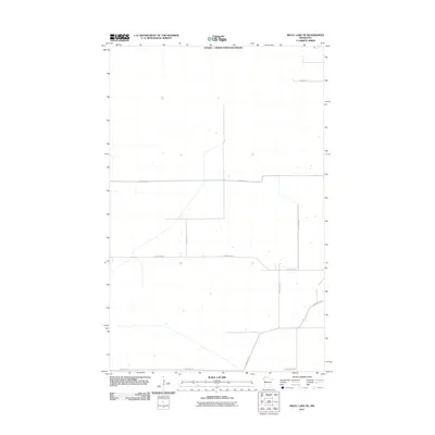
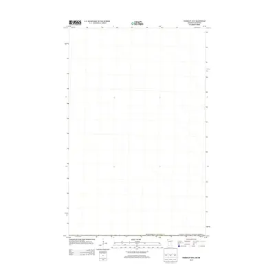
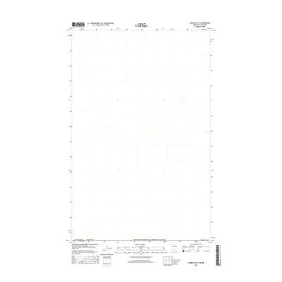
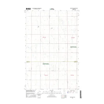
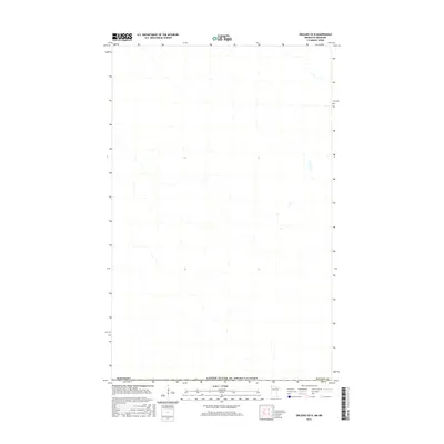
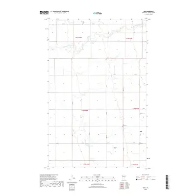
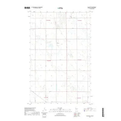
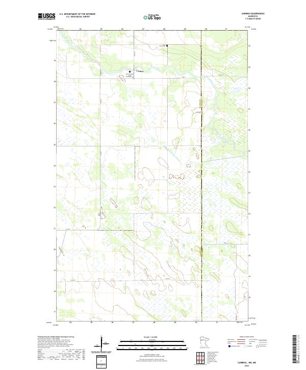
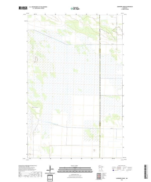
1966 Map of Juneberry Ridge
USGS Topo · Published 1985About this map
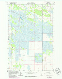
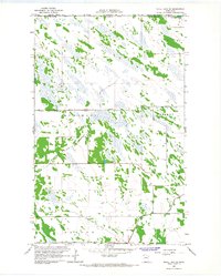
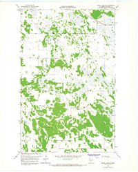
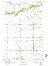
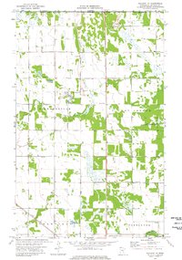
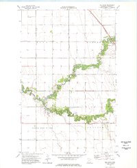
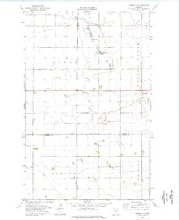
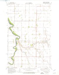
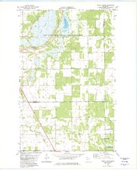
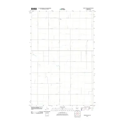
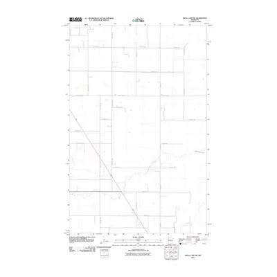
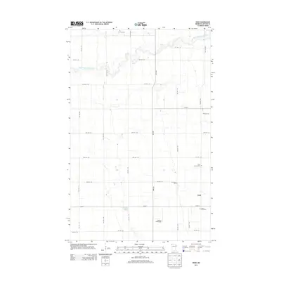
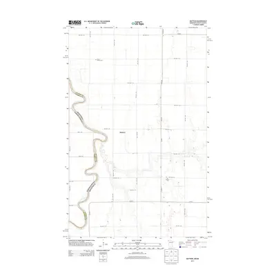
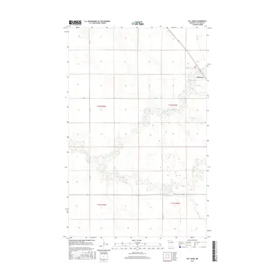
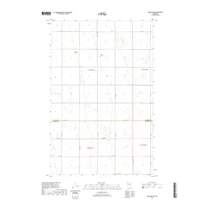
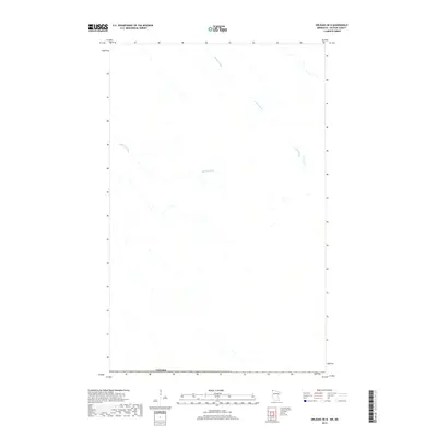
Juneberry Ridge and the settlement of Polonia define this landscape along the border of Kittson and Roseau counties. Captured in the mid-1960s with updates from the early 1980s, the map reveals a terrain heavily managed by an intricate drainage system, including State Ditch No 72, State Ditch No 50, and Judicial Ditch No 31. These engineered waterways reflect the region's efforts to reclaim and utilize low-lying wetlands for agriculture and settlement. The land rises toward the ridge in the northeast, while the western portion is marked by distinct features like Moose Point. This document serves as a detailed record of rural infrastructure and land use in the far northern reaches of Minnesota before more modern developments altered the character of the northwestern prairie-wetland complex.
Find a feature on this map
9 named features on this map. Tap any name to fly to it.
Don’t see what you’re looking for? This feature index may not catch every label — zoom into the map to look around manually.
Map Details
Editions of this 1966 Juneberry Ridge Map
2 editions found
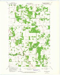
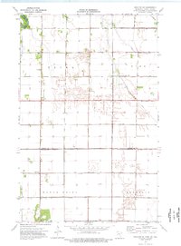
Historical Maps of Roseau County Through Time
116 maps found
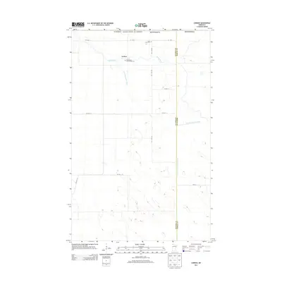
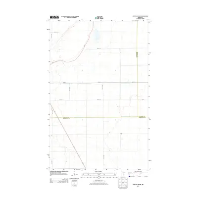
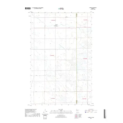
1966 Caribou
Kittson County, MN
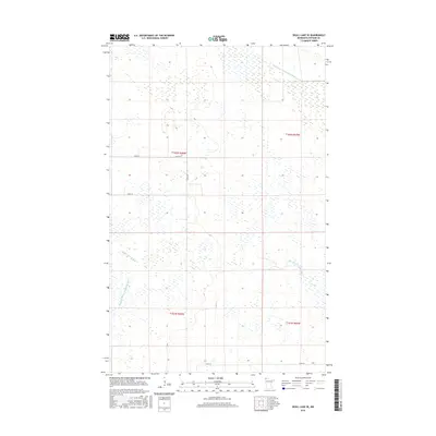
1966 Juneberry Ridge
Kittson County, MN
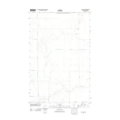
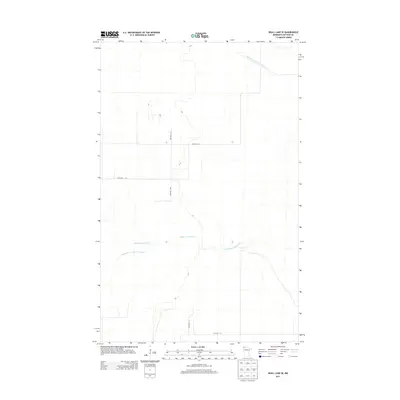
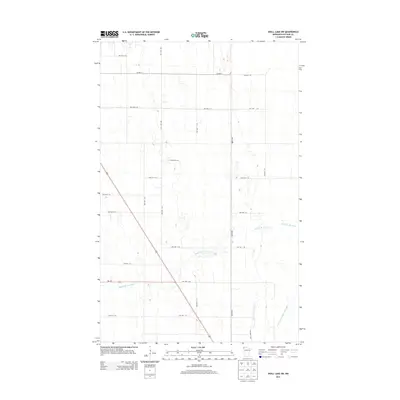
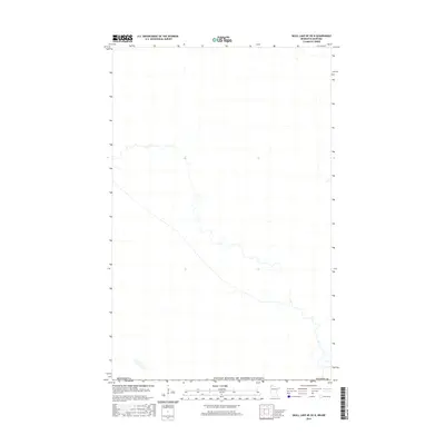
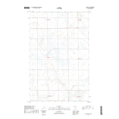
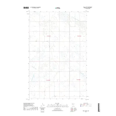
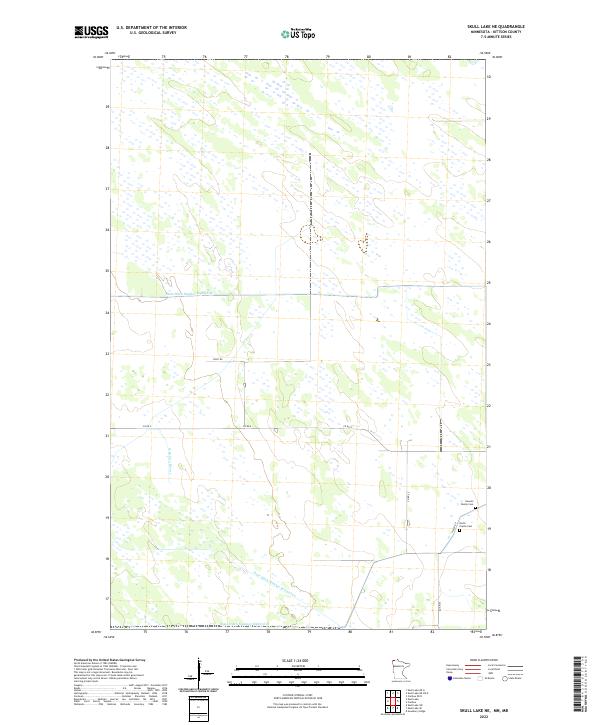
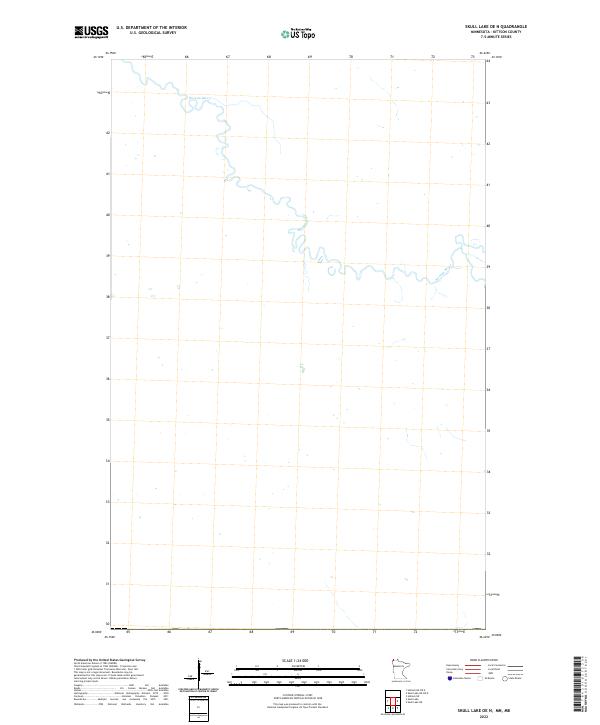
1966 Skull Lake
Kittson County, MN
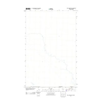
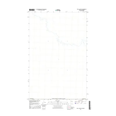
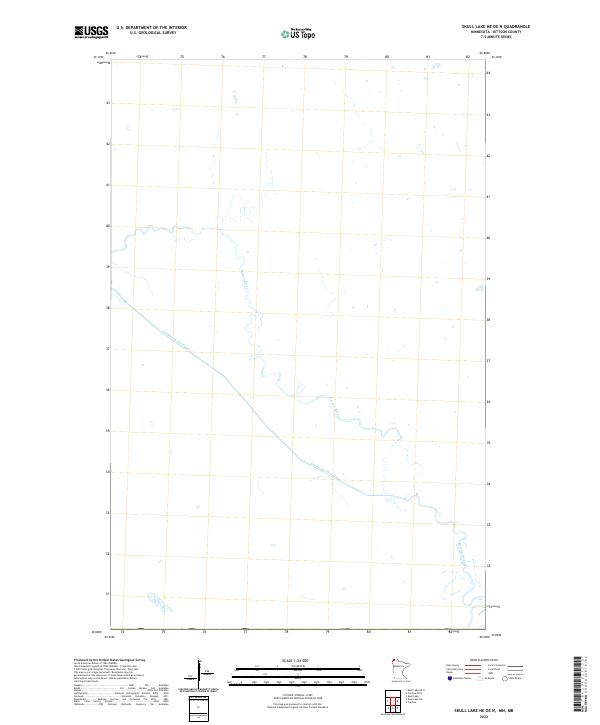
1966 Skull Lake NE
Kittson County, MN
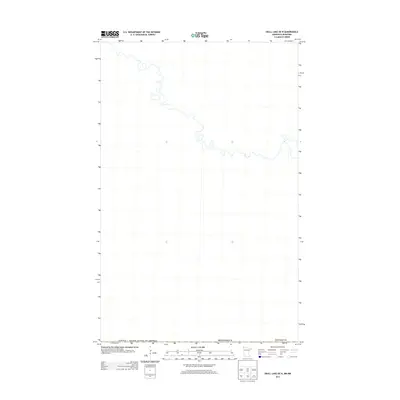
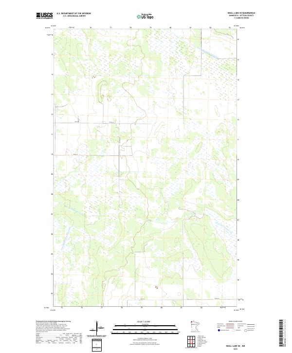
1966 Skull Lake SE
Kittson County, MN
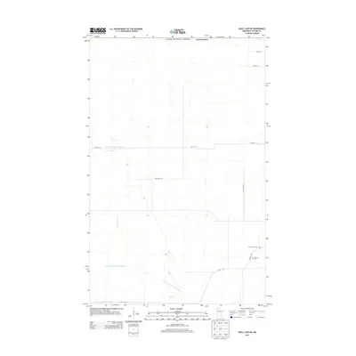
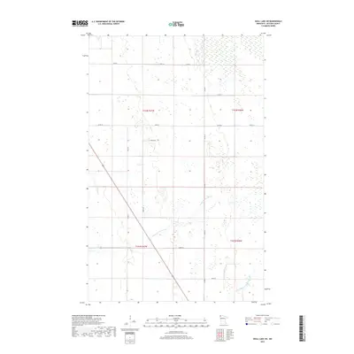
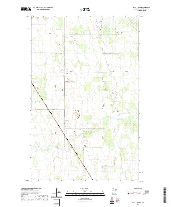
1966 Skull Lake SW
Kittson County, MN
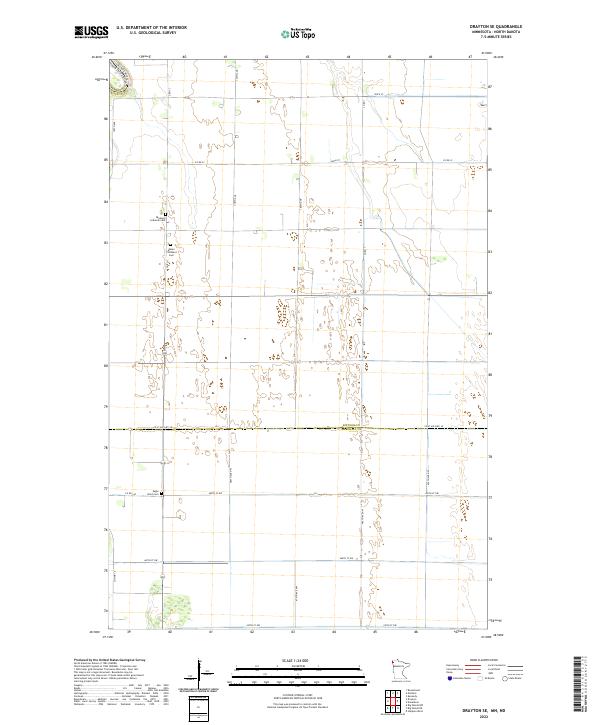
1974 Drayton SE
Kittson County, MN
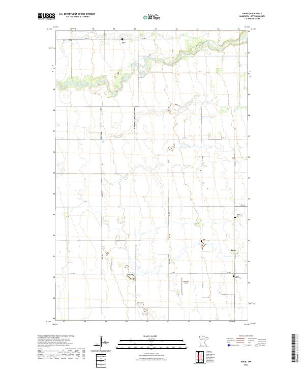
1974 Enok
Kittson County, MN
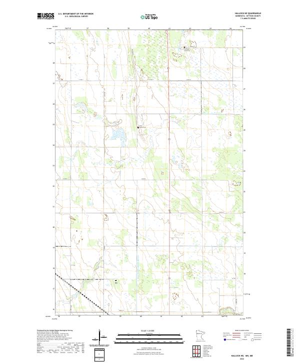
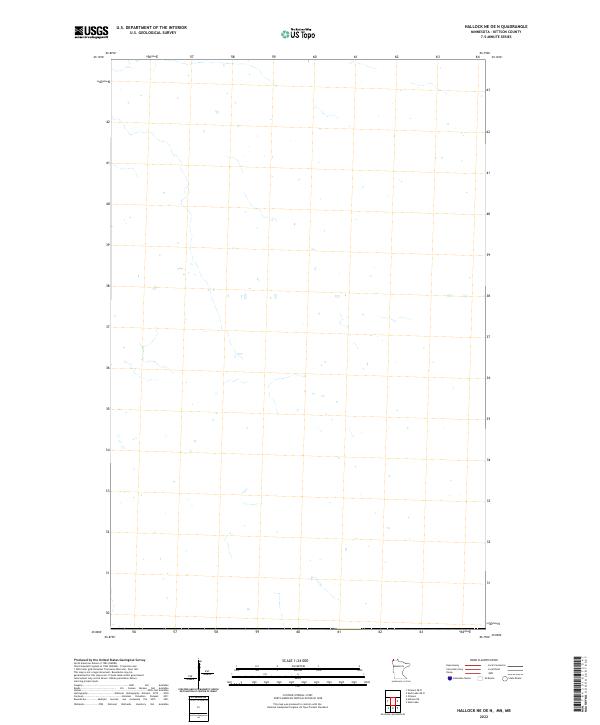
1974 Hallock NE
Kittson County, MN
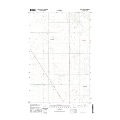
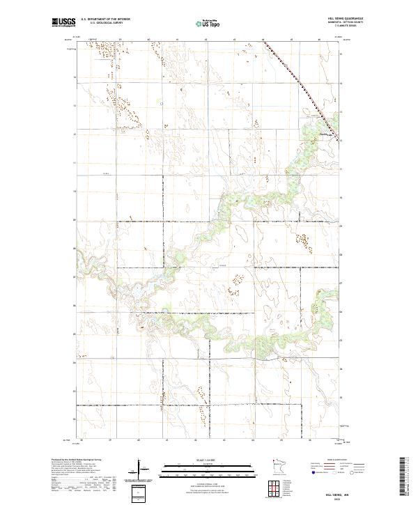
1974 Hill Siding
Kittson County, MN
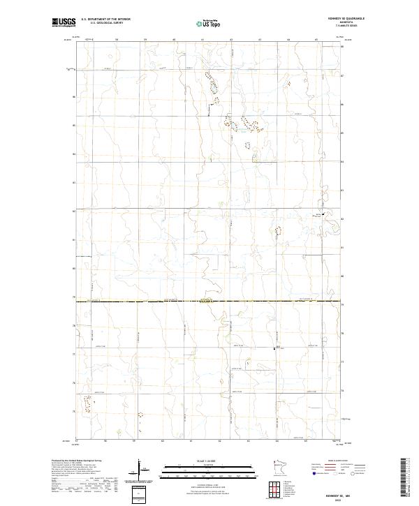
1974 Kennedy SE
Kittson County, MN
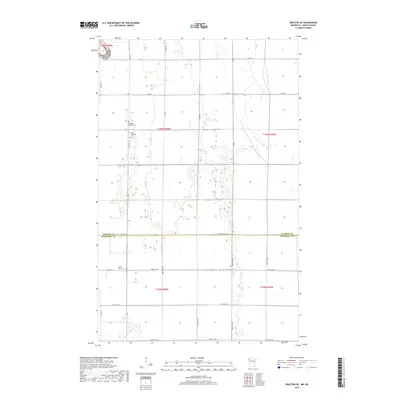
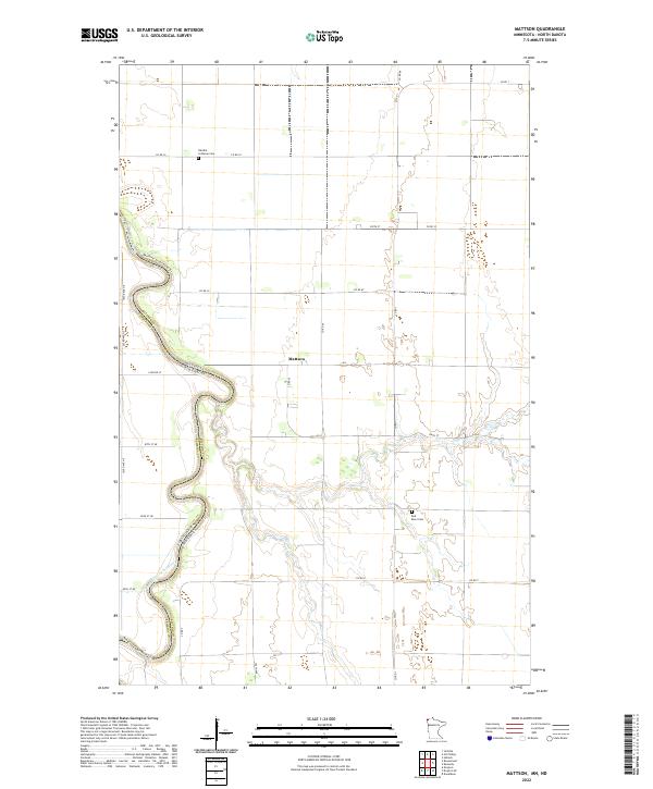
1974 Mattson
Kittson County, MN
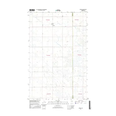
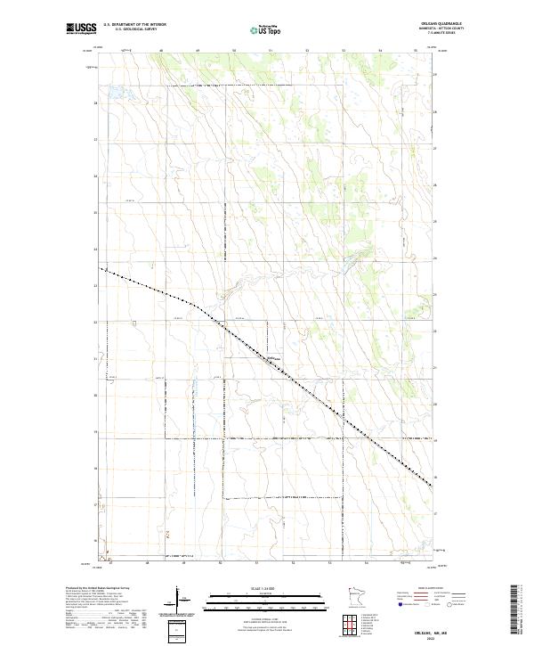
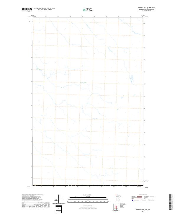
1974 Orleans
Kittson County, MN
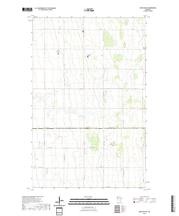
1982 Karlstad SW
Kittson County, MN
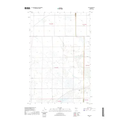
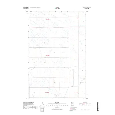
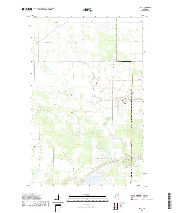
1982 Pelan
Kittson County, MN
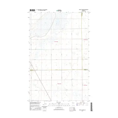
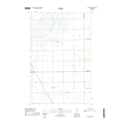
1982 Twistal Swamp
Kittson County, MN
2010 Enok
Kittson County, MN
2010 Hill Siding
Kittson County, MN
2010 Juneberry Ridge
Kittson County, MN
2010 Karlstad SW
Kittson County, MN
2010 Kennedy SE
Kittson County, MN
2010 Pelan
Kittson County, MN
2010 Skull Lake SE
Kittson County, MN
2010 Skull Lake SW
Kittson County, MN
2010 Twistal Swamp
Kittson County, MN
2011 Caribou
Kittson County, MN
2011 Drayton SE
Kittson County, MN
2011 Hallock NE
Kittson County, MN
2011 Mattson
Kittson County, MN
2011 Orleans
Kittson County, MN
2011 Skull Lake
Kittson County, MN
2011 Skull Lake NE
Kittson County, MN
2013 Caribou
Kittson County, MN
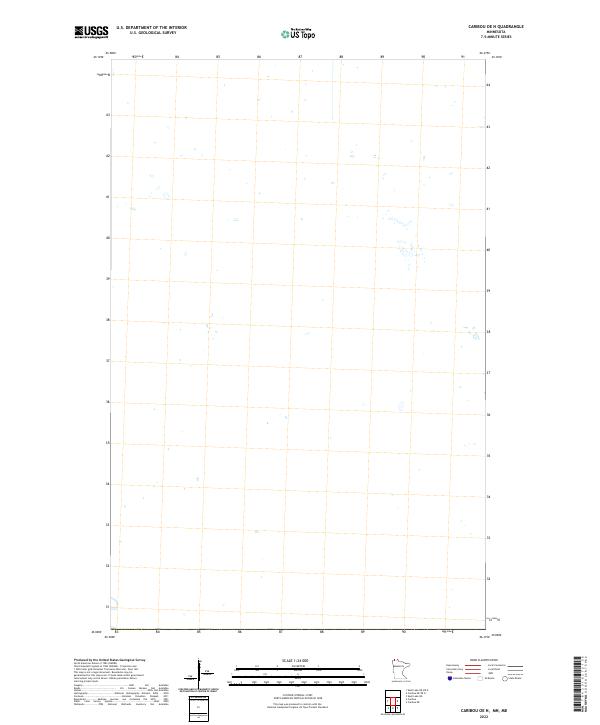
2013 Caribou OE N
Kittson County, MN
2013 Drayton SE
Kittson County, MN
2013 Enok
Kittson County, MN
2013 Hallock NE
Kittson County, MN
2013 Hallock NE OE N
Kittson County, MN
2013 Hill Siding
Kittson County, MN
2013 Humboldt OE N
Kittson County, MN
2013 Juneberry Ridge
Kittson County, MN
2013 Karlstad SW
Kittson County, MN
2013 Kennedy SE
Kittson County, MN
2013 Mattson
Kittson County, MN
2013 Orleans
Kittson County, MN
2013 Orleans OE N
Kittson County, MN
2013 Pelan
Kittson County, MN
2013 Skull Lake
Kittson County, MN
2013 Skull Lake NE
Kittson County, MN
2013 Skull Lake NE OE N
Kittson County, MN
2013 Skull Lake OE N
Kittson County, MN
2013 Skull Lake SE
Kittson County, MN
2013 Skull Lake SW
Kittson County, MN
2013 Twistal Swamp
Kittson County, MN
2016 Caribou
Kittson County, MN
2016 Caribou OE N
Kittson County, MN
2016 Drayton SE
Kittson County, MN
2016 Enok
Kittson County, MN
2016 Hallock NE
Kittson County, MN
2016 Hallock NE OE N
Kittson County, MN
2016 Hill Siding
Kittson County, MN
2016 Humboldt OE N
Kittson County, MN
2016 Juneberry Ridge
Kittson County, MN
2016 Karlstad SW
Kittson County, MN
2016 Kennedy SE
Kittson County, MN
2016 Mattson
Kittson County, MN
2016 Orleans
Kittson County, MN
2016 Orleans OE N
Kittson County, MN
2016 Pelan
Kittson County, MN
2016 Skull Lake
Kittson County, MN
2016 Skull Lake NE
Kittson County, MN
2016 Skull Lake NE OE N
Kittson County, MN
2016 Skull Lake OE N
Kittson County, MN
2016 Skull Lake SE
Kittson County, MN
2016 Skull Lake SW
Kittson County, MN
2016 Twistal Swamp
Kittson County, MN
2019 Caribou
Kittson County, MN
2019 Drayton SE
Kittson County, MN
2019 Enok
Kittson County, MN
2019 Hallock NE
Kittson County, MN
2019 Hill Siding
Kittson County, MN
2019 Humboldt OE N
Kittson County, MN
2019 Juneberry Ridge
Kittson County, MN
2019 Karlstad SW
Kittson County, MN
2019 Kennedy SE
Kittson County, MN
2019 Mattson
Kittson County, MN
2019 Orleans
Kittson County, MN
2019 Orleans OE N
Kittson County, MN
2019 Pelan
Kittson County, MN
2019 Skull Lake
Kittson County, MN
2019 Skull Lake NE
Kittson County, MN
2019 Skull Lake SE
Kittson County, MN
2019 Skull Lake SW
Kittson County, MN
2019 Twistal Swamp
Kittson County, MN
2022 Caribou
Kittson County, MN
2022 Caribou OE N
Kittson County, MN
2022 Drayton SE
Kittson County, MN
2022 Enok
Kittson County, MN
2022 Hallock NE
Kittson County, MN
2022 Hallock NE OE N
Kittson County, MN
2022 Hill Siding
Kittson County, MN
2022 Humboldt OE N
Kittson County, MN
2022 Juneberry Ridge
Kittson County, MN
2022 Karlstad SW
Kittson County, MN
2022 Kennedy SE
Kittson County, MN
2022 Mattson
Kittson County, MN
2022 Orleans
Kittson County, MN
2022 Orleans OE N
Kittson County, MN
2022 Pelan
Kittson County, MN

2022 Skull Lake
Kittson County, MN
2022 Skull Lake NE
Kittson County, MN
2022 Skull Lake NE OE N
Kittson County, MN
2022 Skull Lake OE N
Kittson County, MN
2022 Skull Lake SE
Kittson County, MN
2022 Skull Lake SW
Kittson County, MN

2022 Twistal Swamp
Kittson County, MN