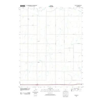
2009 Map of Juniata
USGS Topo · Published 2009About this map
Juniata sits at the center of this rural Saline County landscape, where the meandering course of the Saline River and its tributaries define the local geography. The area is characterized by a precise grid of country roads, including W Pleasant Hill Rd and Iron Dr, which cut across the prairie to connect isolated farmsteads. Significant watercourses like Table Rock Creek and Owl Creek create natural breaks in the agricultural layout, while Mulberry Creek drains the southern portion of the quadrangle. For genealogists, the Monroe Cemetery in the northwestern quadrant remains a vital landmark of the community’s early history and resident families. The placement of named roads such as Linchell Rd and N McGavern Rd reflects the enduring nature of the section-line transport system in this part of Kansas.
Find a feature on this map
20 named features on this map. Tap any name to fly to it.
Don’t see what you’re looking for? This feature index may not catch every label — zoom into the map to look around manually.
Map Details
Editions of this 2009 Juniata Map
This is the sole edition of this map. No revisions or reprints were ever made.
Other maps of this area

1892 · Salina
USGS Topo · 1:125,000

1892 · Minneapolis
USGS Topo · 1:125,000

1894 · Ellsworth
USGS Topo · 1:125,000

1894 · Beloit
USGS Topo · 1:125,000

1942 · Salina
USGS Topo · 1:125,000

1955 · Brookville
USGS Topo · 1:24,000

1955 · Culver
USGS Topo · 1:24,000

1955 · Manhattan
USGS Topo · 1:250,000

1955 · Great Bend
USGS Topo · 1:250,000

1955 · Hutchinson
USGS Topo · 1:250,000