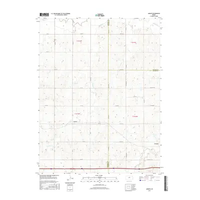
2015 Map of Juniata
USGS Topo · Published 2015About this map
Monroe Cem stands near the northern edge of this Kansas landscape, a quiet landmark within the rural township lines of T12S R6W. The terrain is defined by the winding course of the Saline River, which cuts across the upper reaches alongside tributaries like Table Rock Cr and Owl Cr. The settlement of Juniata sits centrally, while Glendale occupies the southeastern corner, reflecting the sparse, decentralized agricultural patterns typical of the region.
Find a feature on this map
41 named features on this map. Tap any name to fly to it.
Don’t see what you’re looking for? This feature index may not catch every label — zoom into the map to look around manually.
Map Details
Editions of this 2015 Juniata Map
This is the sole edition of this map. No revisions or reprints were ever made.
Other maps of this area

1892 · Salina
USGS Topo · 1:125,000

1892 · Minneapolis
USGS Topo · 1:125,000

1894 · Ellsworth
USGS Topo · 1:125,000

1894 · Beloit
USGS Topo · 1:125,000

1942 · Salina
USGS Topo · 1:125,000

1955 · Brookville
USGS Topo · 1:24,000

1955 · Culver
USGS Topo · 1:24,000

1955 · Manhattan
USGS Topo · 1:250,000

1955 · Great Bend
USGS Topo · 1:250,000

1955 · Hutchinson
USGS Topo · 1:250,000