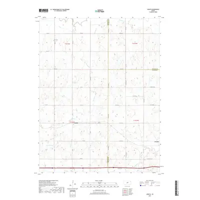
2018 Map of Juniata
USGS Topo · Published 2018About this map
The Saline River flows through this central Kansas landscape where the borders of Lincoln, Ottawa, and Saline counties converge. The topography is defined by the winding paths of Table Rock Cr and Mulberry Cr, which carve through the high ground. Small rural hubs like Juniata and Glendale anchor the region, connected by a structured grid of section-line roads such as Eff Creek Rd and N McGavern Rd. Cultural sites include the Monroe Cem in the northwest, serving as a quiet record of local families. This survey demonstrates the persistence of traditional agricultural land divisions, with large sections clearly delineated by the Public Land Survey System. The network of creeks, including Owl Cr and Brush Cr, illustrates the drainage patterns vital to the farming economy of the plains.
Find a feature on this map
47 named features on this map. Tap any name to fly to it.
Don’t see what you’re looking for? This feature index may not catch every label — zoom into the map to look around manually.
Map Details
Editions of this 2018 Juniata Map
This is the sole edition of this map. No revisions or reprints were ever made.
Other maps of this area

1892 · Salina
USGS Topo · 1:125,000

1892 · Minneapolis
USGS Topo · 1:125,000

1894 · Ellsworth
USGS Topo · 1:125,000

1894 · Beloit
USGS Topo · 1:125,000

1942 · Salina
USGS Topo · 1:125,000

1955 · Brookville
USGS Topo · 1:24,000

1955 · Culver
USGS Topo · 1:24,000

1955 · Manhattan
USGS Topo · 1:250,000

1955 · Great Bend
USGS Topo · 1:250,000

1955 · Hutchinson
USGS Topo · 1:250,000