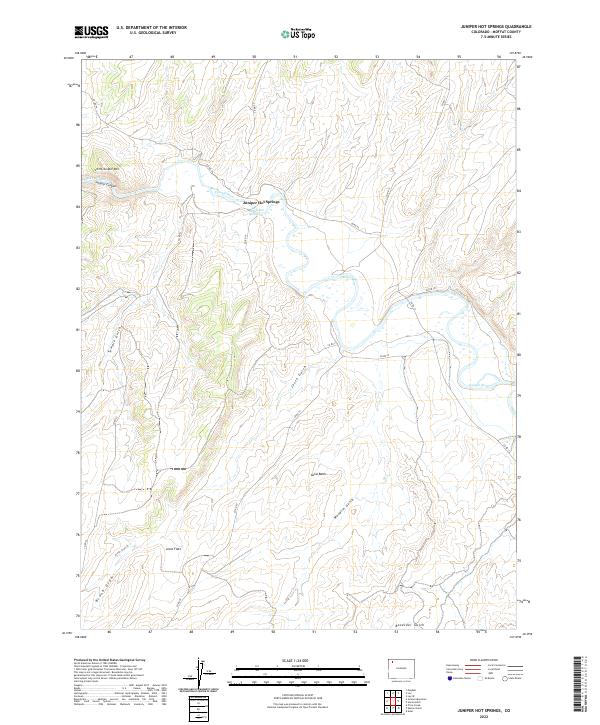
2022 Map of Juniper Hot Springs
USGS Topo · Published 2022About this map
Juniper Hot Springs serves as the focal point for this landscape in Moffat County, where the geothermal waters meet the winding course of the Yampa River. The area is defined by its drainage systems and high desert terrain, featuring the prominent Little Juniper Mtn and the narrow passage of Juniper Canyon. Water management is evident through the presence of the Maybell Ditch, reflecting the necessity of irrigation in this semi-arid region. To the south, the terrain opens into the Axial Basin and Jesse Flats, areas dissected by numerous named drainages such as Temple Gulch, Maudlin Gulch, and Brush Draw. The map documents a sparse network of county roads, including Co RD 74 and Co RD 53, which provide the primary access to these remote reaches of northwest Colorado.
Find a feature on this map
24 named features on this map. Tap any name to fly to it.
Don’t see what you’re looking for? This feature index may not catch every label — zoom into the map to look around manually.
Map Details
Editions of this 2022 Juniper Hot Springs Map
This is the sole edition of this map. No revisions or reprints were ever made.
Other maps of this area

1907 · White River
USGS Topo · 1:125,000

1910 · Danforth Hills
USGS Topo · 1:125,000

1910 · White River
USGS Topo · 1:125,000

1912 · Axial
USGS Topo · 1:62,500

1914 · Axial
USGS Topo · 1:62,500

1916 · Craig
USGS Topo · 1:125,000

1954 · Vernal
USGS Topo · 1:250,000

1954 · Craig
USGS Topo · 1:250,000

1957 · Craig
USGS Topo · 1:250,000

1958 · Vernal
USGS Topo · 1:250,000