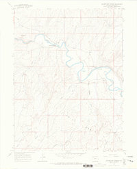
1966 Map of Juniper Hot Springs
USGS Topo · Published 1969About this map
The Yampa River winds through the high desert of Moffat County, carving the dramatic Juniper Canyon between Little Juniper Mountain and the surrounding plateaus. This mid-century survey captures the remote settlement of Juniper Hot Springs at a time when the river's path was the primary architect of the local landscape. The map details the transition from the steep canyon walls to the broad, open Axial Basin in the south, a region defined by extensive drainage systems like Maudlin Gulch and Jesse Gulch.
Find a feature on this map
16 named features on this map. Tap any name to fly to it.
Don’t see what you’re looking for? This feature index may not catch every label — zoom into the map to look around manually.
Map Details
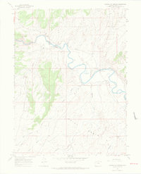
Editions of this 1966 Juniper Hot Springs Map
2 editions found
Other maps of this area

1907 · White River
USGS Topo · 1:125,000

1910 · Danforth Hills
USGS Topo · 1:125,000

1910 · White River
USGS Topo · 1:125,000

1912 · Axial
USGS Topo · 1:62,500

1914 · Axial
USGS Topo · 1:62,500

1916 · Craig
USGS Topo · 1:125,000

1954 · Vernal
USGS Topo · 1:250,000

1954 · Craig
USGS Topo · 1:250,000

1957 · Craig
USGS Topo · 1:250,000

1958 · Vernal
USGS Topo · 1:250,000