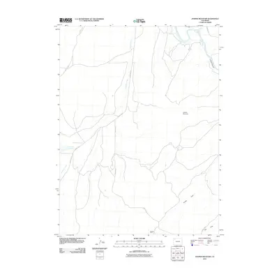
2010 Map of Juniper Mountain
USGS Topo · Published 2010About this map
Juniper Mountain dominates the landscape of this high-desert portion of Northwest Colorado, where the Yampa River carves its way through the dramatic Juniper Canyon. In this arid environment, water management is the primary driver of human settlement and geography, visible in the engineering of the Maybell Ditch and the catchment of Dry Lake Reservoir. The area is sparsely populated, with the Sweeney Ranch representing the traditional ranching heritage of Moffat County.
Find a feature on this map
16 named features on this map. Tap any name to fly to it.
Don’t see what you’re looking for? This feature index may not catch every label — zoom into the map to look around manually.
Map Details
Editions of this 2010 Juniper Mountain Map
This is the sole edition of this map. No revisions or reprints were ever made.
Other maps of this area

1907 · White River
USGS Topo · 1:125,000

1910 · Danforth Hills
USGS Topo · 1:125,000

1910 · White River
USGS Topo · 1:125,000

1912 · Axial
USGS Topo · 1:62,500

1914 · Axial
USGS Topo · 1:62,500

1916 · Craig
USGS Topo · 1:125,000

1954 · Vernal
USGS Topo · 1:250,000

1954 · Craig
USGS Topo · 1:250,000

1957 · Craig
USGS Topo · 1:250,000

1958 · Vernal
USGS Topo · 1:250,000