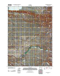
2011 Map of Juniper Ridge
USGS Topo · Published 2011About this map
Water management and high-desert terrain define this corner of Malheur County in 2011, dominated by the massive Antelope Reservoir in the northwest. This remote landscape is shaped by an intricate network of drainage and storage, including the Parsnip Reservoir and the Parsnip Creek Diversion Reservoir which capture seasonal flows in an arid environment. The map details the transition from the elevation of Juniper Ridge and the volcanic prominence of Round Peak down into the expansive Frank Maher Flat. This area is crisscrossed by remote access routes like Antelope Canal Rd and Gulch Place Rd, serving the ranching and water infrastructure vital to the region. Tracing the paths of Jack Creek and Willow Creek, the survey reveals a geography where every canyon and spring is a critical landmark for navigation and livestock management.
Find a feature on this map
17 named features on this map. Tap any name to fly to it.
Don’t see what you’re looking for? This feature index may not catch every label — zoom into the map to look around manually.
Map Details
Editions of this 2011 Juniper Ridge Map
This is the sole edition of this map. No revisions or reprints were ever made.
Other maps of this area

1955 · Jordan Valley
USGS Topo · 1:250,000

1957 · Jordan Valley
USGS Topo · 1:250,000

1958 · Jordan Valley
USGS Topo · 1:250,000
1969 · Little Grassy Mountain
USGS Topo · 1:24,000
1969 · Juniper Ridge
USGS Topo · 1:24,000
1969 · Antelope Reservoir
USGS Topo · 1:24,000
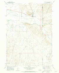
1969 · Jordan Valley
USGS Topo · 1:24,000
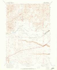
1969 · Danner
USGS Topo · 1:24,000
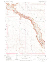
1980 · Skull Creek
USGS Topo · 1:24,000

1980 · Juniper Point
USGS Topo · 1:24,000