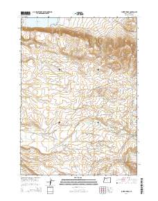
2014 Map of Juniper Ridge
USGS Topo · Published 2014About this map
Antelope Flat and Frank Maher Flat dominate this high-desert plateau in Malheur County, where water management is the primary signature on the landscape. This 2014 survey reveals a complex network of reservoirs and diversions essential for ranching and agriculture, including the substantial Antelope Reservoir in the north and the specialized Parsnip Cr Diversion Reservoir to the southeast. The terrain is defined by basaltic rises such as Juniper Ridge and Castro Ridge, which overlook a drainage system composed of Willow Cr, Jack Cr, and Soldier Cr. Human presence is marked by isolated water sources like Castro Spg and Twin Springs, alongside localized infrastructure such as the Antelope Canal Rd and Arritola Place Rd. The map provides an exacting look at the modern land use patterns in this corner of Oregon, where the distribution of water at sites like Black Butte Reservoir dictates the geography of the high range.
Find a feature on this map
30 named features on this map. Tap any name to fly to it.
Don’t see what you’re looking for? This feature index may not catch every label — zoom into the map to look around manually.
Map Details
Editions of this 2014 Juniper Ridge Map
This is the sole edition of this map. No revisions or reprints were ever made.
Other maps of this area

1955 · Jordan Valley
USGS Topo · 1:250,000

1957 · Jordan Valley
USGS Topo · 1:250,000

1958 · Jordan Valley
USGS Topo · 1:250,000
1969 · Little Grassy Mountain
USGS Topo · 1:24,000
1969 · Juniper Ridge
USGS Topo · 1:24,000
1969 · Antelope Reservoir
USGS Topo · 1:24,000
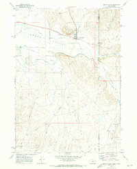
1969 · Jordan Valley
USGS Topo · 1:24,000
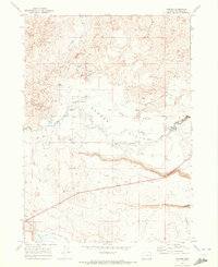
1969 · Danner
USGS Topo · 1:24,000
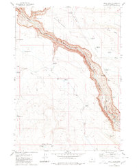
1980 · Skull Creek
USGS Topo · 1:24,000

1980 · Juniper Point
USGS Topo · 1:24,000