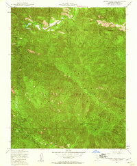
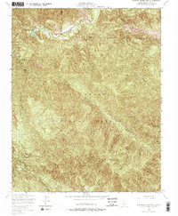
1949 Map of Junipero Serra Peak
USGS Topo · Published 1960About this map
Junipero Serra Peak stands as the dominant topographical feature in this mid-century survey of the California wilderness. Deep within the Los Padres National Forest, the landscape is defined by the steep drainages of Arroyo Seco and Santa Lucia Creek. A high-altitude Airfield is positioned near the northern boundary, suggesting the specialized transportation needs of this remote backcountry era. The network of unimproved tracks, such as Telephone Road and Indian Road, highlights the limited accessibility of the region at the time. Further east, Pinyon Peak provides a secondary vantage point overlooking the rugged canyons and the Bear Mountain massif. This survey captures a moment when lookout towers were critical infrastructure for forest management and fire observation in the California mountains.
Find a feature on this map
14 named features on this map. Tap any name to fly to it.
Don’t see what you’re looking for? This feature index may not catch every label — zoom into the map to look around manually.
Map Details
Editions of this 1949 Junipero Serra Peak Map
5 editions found
Other maps of this area

1915 · Soledad
USGS Topo · 1:62,500

1919 · Junipero Serra
USGS Topo · 1:62,500

1920 · Jamesburg
USGS Topo · 1:48,000

1921 · Jamesburg
USGS Topo · 1:62,500

1921 · Lucia
USGS Topo · 1:62,500

1939 · Jamesburg
USGS Topo · 1:62,500

1940 · Jamesburg
USGS Topo · 1:62,500

1940 · Soledad
USGS Topo · 1:62,500

1941 · Lucia
USGS Topo · 1:62,500

1941 · Junipero Serra
USGS Topo · 1:62,500