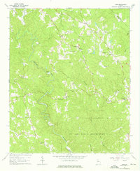
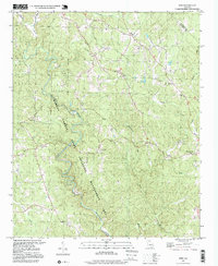
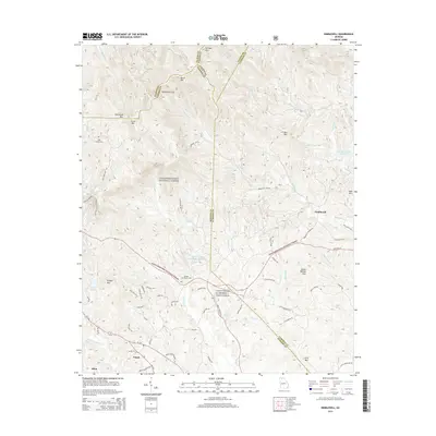
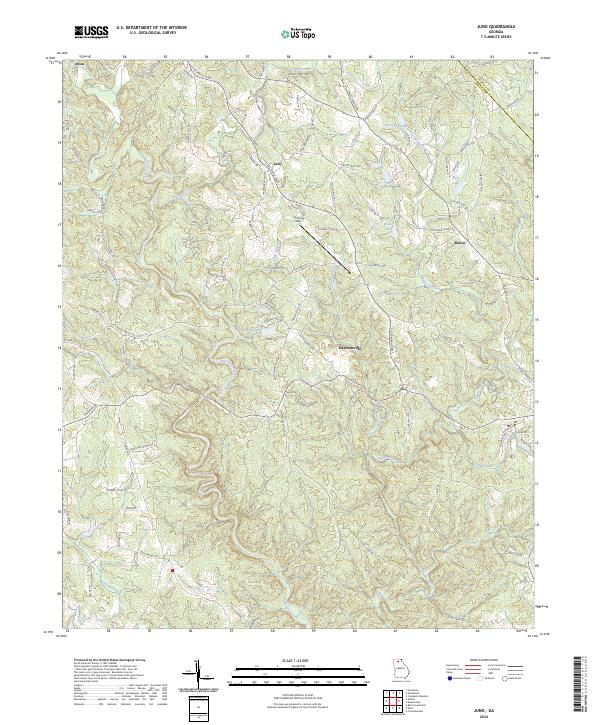
1964 Map of Juno
USGS Topo · Published 1975About this map
The US Air Force Reservation dominates the southern landscape of this Dawson County region, established in a heavily wooded area defined by the winding course of Amicalola Creek. In the mid-1960s, the rural character of the area is centered around small hubs like Juno and McKee, with community life anchored by several country churches, including McKees Chapel, Bethel Ch, and Pleasant Grove Ch. The presence of a Covered Bridge on Holly Creek and multiple fords along the waterways suggests a transportation network still deeply connected to the natural terrain before modern infrastructure expansion.
Find a feature on this map
30 named features on this map. Tap any name to fly to it.
Don’t see what you’re looking for? This feature index may not catch every label — zoom into the map to look around manually.
Map Details
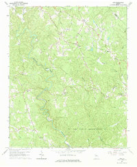
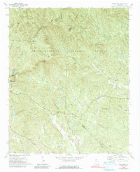
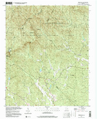
Editions of this 1964 Juno Map
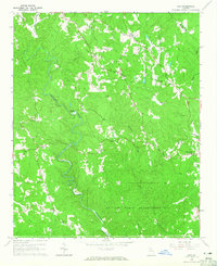
Historical Maps of Dawsonville Through Time
14 maps found
1964 Juno
Dawson County, GA
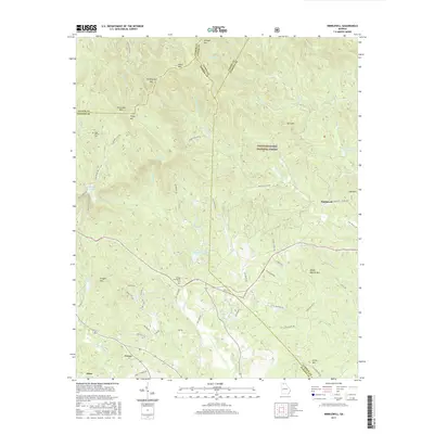
1971 Nimblewill
Dawson County, GA
1997 Juno
Dawson County, GA
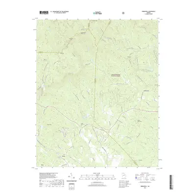
1997 Nimblewill
Dawson County, GA

2011 Juno
Dawson County, GA
2011 Nimblewill
Dawson County, GA
2014 Juno
Dawson County, GA
2014 Nimblewill
Dawson County, GA

2017 Juno
Dawson County, GA
2017 Nimblewill
Dawson County, GA
2020 Juno
Dawson County, GA
2020 Nimblewill
Dawson County, GA
2024 Juno
Dawson County, GA
2024 Nimblewill
Dawson County, GA