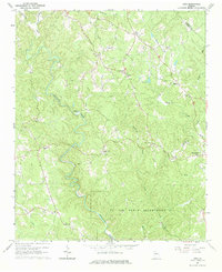
1964 Map of Juno
USGS Topo · Published 1984About this map
Amicalola Creek carves a winding path through this corner of Dawson County, defining a landscape where small rural settlements like Juno and McKee once centered around country churches and schools. The map captures a transitional moment for the region in the mid-1960s, showing a network of unimproved roads and small clearings alongside established landmarks such as the Lookout Tower and a Covered Bridge crossing Holly Creek.
Find a feature on this map
26 named features on this map. Tap any name to fly to it.
Don’t see what you’re looking for? This feature index may not catch every label — zoom into the map to look around manually.
Map Details
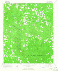
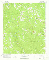
Editions of this 1964 Juno Map
Other maps of this area

1888 · Ellijay
USGS Topo · 1:125,000

1890 · Suwanee
USGS Topo · 1:125,000

1892 · Ellijay
USGS Topo · 1:125,000

1894 · Suwanee
USGS Topo · 1:125,000

1898 · Ellijay
USGS Topo · 1:125,000

1911 · Ellijay
USGS Topo · 1:125,000

1926 · Tate
USGS Topo · 1:62,500

1928 · Tate
USGS Topo · 1:62,500
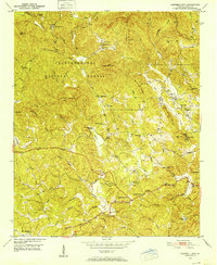
1950 · Campbell Mtn
USGS Topo · 1:24,000

1955 · Rome
USGS Topo · 1:250,000