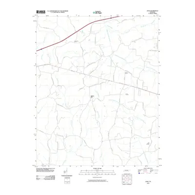
2010 Map of Juno
USGS Topo · Published 2010About this map
Spring Hill and its surrounding rural landscapes in Henderson County are defined by a complex network of waterways that feed the larger Forked Deer River system. The terrain is bifurcated by the Middle Fork Forked Deer River in the north and the North Fork Forked Deer River to the south, with numerous tributaries like Spencer Creek and Courtney Branch carving through the countryside. This 2010 survey reflects a landscape shaped by long-standing agricultural patterns and localized family settlements, as evidenced by the distribution of country roads and family cemeteries.
Find a feature on this map
59 named features on this map. Tap any name to fly to it.
Don’t see what you’re looking for? This feature index may not catch every label — zoom into the map to look around manually.
Map Details
Editions of this 2010 Juno Map
This is the sole edition of this map. No revisions or reprints were ever made.
Other maps of this area

1936 · Clarksburg
USGS Topo · 1:24,000

1936 · Lexington
USGS Topo · 1:24,000

1936 · Life
USGS Topo · 1:24,000

1950 · Life
USGS Topo · 1:24,000

1950 · Lexington
USGS Topo · 1:24,000

1950 · Clarksburg
USGS Topo · 1:24,000

1953 · Claybrook
USGS Topo · 1:24,000

1953 · Beech Bluff
USGS Topo · 1:24,000

1955 · Luray
USGS Topo · 1:24,000

1955 · Juno
USGS Topo · 1:24,000