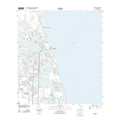
2012 Map of Jupiter
USGS Topo · Published 2012About this map
The Loxahatchee River system dominates this coastal landscape, where the N Fork Loxahatchee River and Southwest Fork Loxahatchee River converge before meeting the Atlantic Ocean at the Jupiter Inlet. This survey documents a densely developed maritime corridor, characterized by waterfront communities such as Tropic Vista, Selhaven, and the Jupiter Inlet Beach Colony. The infrastructure supporting this coastal growth is evident in the Jupiter Federal Bridge and the 706 Bridge, which span the intricate network of waterways including Jupiter Sound and Lake Worth Creek.
Find a feature on this map
129 named features on this map. Tap any name to fly to it.
Don’t see what you’re looking for? This feature index may not catch every label — zoom into the map to look around manually.
Map Details
Editions of this 2012 Jupiter Map
This is the sole edition of this map. No revisions or reprints were ever made.
Other maps of this area

1945 · Delta
USGS Topo · 1:24,000

1946 · Riviera Beach
USGS Topo · 1:24,000

1948 · Rood
USGS Topo · 1:24,000

1948 · Gomez
USGS Topo · 1:24,000

1948 · Hobe Sound
USGS Topo · 1:24,000

1948 · Jupiter
USGS Topo · 1:24,000

1949 · Rood
USGS Topo · 1:24,000

1949 · Gomez
USGS Topo · 1:24,000

1949 · Riviera Beach
USGS Topo · 1:24,000

1949 · Hobe Sound
USGS Topo · 1:24,000