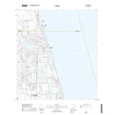
2018 Map of Jupiter
USGS Topo · Published 2018About this map
The Loxahatchee River system and its many branches, including the North Fork Loxahatchee River and Southwest Fork Loxahatchee River, define the landscape of northern Palm Beach County. The complex intersection of the Intracoastal Waterway, Indian River Lagoon, and the Atlantic Ocean at the Jupiter Inlet Beach Colony highlights the area's maritime-oriented development. On the coastal barrier, Jupiter Island features distinctive landmarks like Blowing Rocks and the provocatively named Hell Gate.
Find a feature on this map
193 named features on this map. Tap any name to fly to it.
Don’t see what you’re looking for? This feature index may not catch every label — zoom into the map to look around manually.
Map Details
Editions of this 2018 Jupiter Map
This is the sole edition of this map. No revisions or reprints were ever made.
Other maps of this area

1945 · Delta
USGS Topo · 1:24,000

1946 · Riviera Beach
USGS Topo · 1:24,000

1948 · Rood
USGS Topo · 1:24,000

1948 · Gomez
USGS Topo · 1:24,000

1948 · Hobe Sound
USGS Topo · 1:24,000

1948 · Jupiter
USGS Topo · 1:24,000

1949 · Rood
USGS Topo · 1:24,000

1949 · Gomez
USGS Topo · 1:24,000

1949 · Riviera Beach
USGS Topo · 1:24,000

1949 · Hobe Sound
USGS Topo · 1:24,000