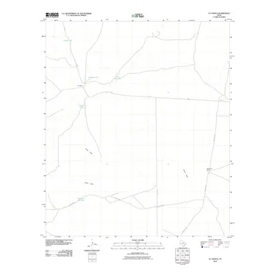
2010 Map of K C Ranch
USGS Topo · Published 2010About this map
K C Ranch and Weatherby Ranch anchor this landscape in West Texas, reflecting the enduring presence of large-scale cattle ranching in Culberson County. The area is defined by its water management systems, essential for survival in this arid environment. Named catchment points such as Enrique Tank, Dust Bowl Tank, and the descriptively titled Sorghum Belt Tank are scattered across the terrain, indicating where water was historically collected for livestock.
Find a feature on this map
16 named features on this map. Tap any name to fly to it.
Don’t see what you’re looking for? This feature index may not catch every label — zoom into the map to look around manually.
Map Details
Editions of this 2010 K C Ranch Map
This is the sole edition of this map. No revisions or reprints were ever made.
Other maps of this area

1906 · Van Horn
USGS Topo · 1:125,000

1928 · Kent
USGS Topo · 1:125,000

1954 · Van Horn
USGS Topo · 1:250,000

1958 · Van Horn
USGS Topo · 1:250,000

1973 · Dellahunt Draw West
USGS Topo · 1:24,000

1973 · Seven L Peak
USGS Topo · 1:24,000

1973 · Two Mill Draw West
USGS Topo · 1:24,000

1973 · Seven L Peak NE
USGS Topo · 1:24,000

1973 · K C Ranch
USGS Topo · 1:24,000

1973 · Chico Draw East
USGS Topo · 1:24,000