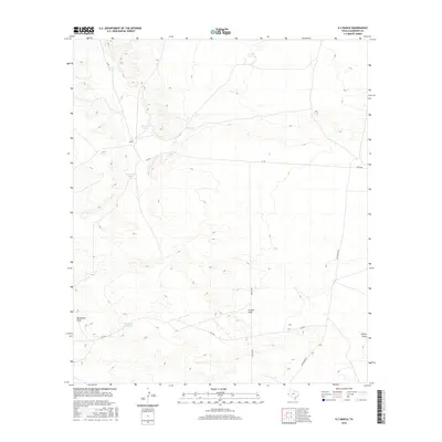
2016 Map of K C Ranch
USGS Topo · Published 2016About this map
K C Ranch anchors this high-desert landscape in northern Culberson County, where the management of water is the primary footprint on the terrain. The presence of numerous engineered catchments such as Dust Bowl Tank, Sorghum Bell Tank, and Enrique Tank reveals the vital role of livestock ranching and water preservation in this arid environment. These features are positioned to capture runoff from the various topographical depressions that define the area, including Budweiser Draw and Frijole Draw.
Find a feature on this map
14 named features on this map. Tap any name to fly to it.
Don’t see what you’re looking for? This feature index may not catch every label — zoom into the map to look around manually.
Map Details
Editions of this 2016 K C Ranch Map
This is the sole edition of this map. No revisions or reprints were ever made.
Other maps of this area

1906 · Van Horn
USGS Topo · 1:125,000

1928 · Kent
USGS Topo · 1:125,000

1954 · Van Horn
USGS Topo · 1:250,000

1958 · Van Horn
USGS Topo · 1:250,000

1973 · Dellahunt Draw West
USGS Topo · 1:24,000

1973 · Seven L Peak
USGS Topo · 1:24,000

1973 · Two Mill Draw West
USGS Topo · 1:24,000

1973 · Seven L Peak NE
USGS Topo · 1:24,000

1973 · K C Ranch
USGS Topo · 1:24,000

1973 · Chico Draw East
USGS Topo · 1:24,000