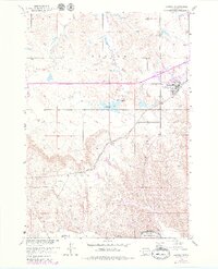
1951 Map of Kadoka
USGS Topo · Published 1979About this map
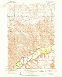
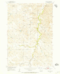
The town of Kadoka serves as a central hub on this topographic study, which captures the landscape of Jackson County as it transitioned from 1951 field surveys into the late 1970s. The northern edge of the Pine Ridge Indian Reservation follows the meandering course of the White River in the south, while the Chicago Milwaukee St Paul and Pacific railroad cuts a straight diagonal through the terrain, illustrating the critical role of rail infrastructure in connecting this part of the Great Plains.
Find a feature on this map
17 named features on this map. Tap any name to fly to it.
Don’t see what you’re looking for? This feature index may not catch every label — zoom into the map to look around manually.
Map Details
Editions of this 1951 Kadoka Map
2 editions found
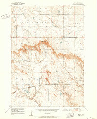
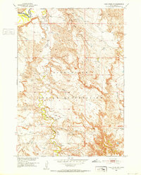
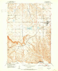
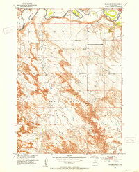
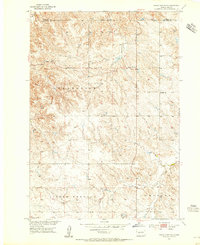
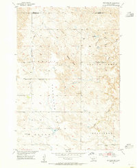
Other maps of this area
1950 · Weta
USGS Topo · 1:24,000

1951 · Wanblee NW
USGS Topo · 1:24,000
1951 · Pass Creek NW
USGS Topo · 1:24,000
1951 · Kadoka
USGS Topo · 1:24,000
1951 · Belvidere SW
USGS Topo · 1:24,000
1951 · Wanblee NE
USGS Topo · 1:24,000
1953 · Philip Junction
USGS Topo · 1:24,000
1954 · Belvidere NW
USGS Topo · 1:24,000
1954 · Kadoka NE
USGS Topo · 1:24,000

1955 · Martin
USGS Topo · 1:250,000