
1980 Map of Kadoka
USGS Topo · Published 1980About this map
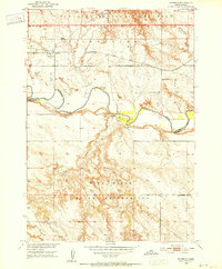
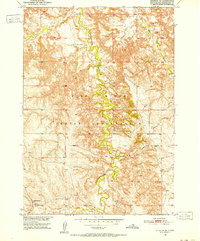
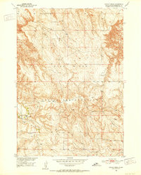
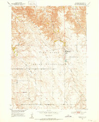
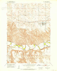
Kadoka serves as the focal point of this 1980 survey, situated at the intersection of local industry and vast protected lands. The landscape is defined by the sweeping reach of the Buffalo Gap National Grassland and the distinctive geological formations of Badlands National Park. The map documents a critical transportation corridor, showing the Chicago Milwaukee St Paul and Pacific and Chicago and North Western railroads traversing the plains alongside the developing Interstate 90. To the south, the Pine Ridge Indian Reservation and Rosebud Indian Reservation mark significant cultural and jurisdictional boundaries. Water management is evident through numerous man-made features like Kadoka Lake, Washburn Ridge Dam, and Neiderworder Dam, which supported cattle ranching and settlement in an area where seasonal flows of the White River and Cottonwood Creek dictated the pace of life.
Find a feature on this map
106 named features on this map. Tap any name to fly to it.
Don’t see what you’re looking for? This feature index may not catch every label — zoom into the map to look around manually.
Map Details
Editions of this 1980 Kadoka Map
This is the sole edition of this map. No revisions or reprints were ever made.
Other maps of this area
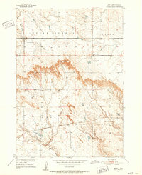
1950 · Interior
USGS Topo · 1:24,000
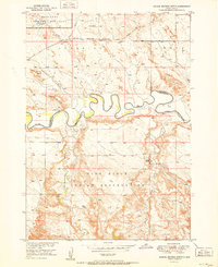
1950 · Interior SE
USGS Topo · 1:24,000
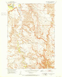
1950 · Potato Creek
USGS Topo · 1:24,000
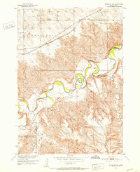
1950 · Wanblee
USGS Topo · 1:24,000
1950 · Weta
USGS Topo · 1:24,000

1951 · Wanblee NW
USGS Topo · 1:24,000
1951 · School Section Butte
USGS Topo · 1:24,000
1951 · Pass Creek NW
USGS Topo · 1:24,000
1951 · Stamford SW
USGS Topo · 1:24,000
1951 · Belvidere
USGS Topo · 1:24,000