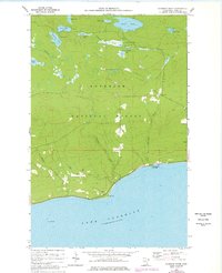
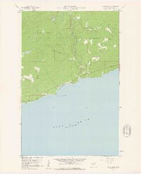
1960 Map of Kadunce River
USGS Topo · Published 1978About this map
The rocky northern shore of Lake Superior dominates this 1960s survey, defined by the sharp drop-off at Red Cliff and the coastal terrain of Kadunce River State Park. Further inland, the landscape of the Superior National Forest is characterized by a dense network of water bodies, including the large Kimball Lake and the smaller, perched Section Fifteen Lake. The Kadunce River and Kimball Creek drain the upland timber toward the Great Lake, cutting through steep contours. This survey captures the wilderness character of Cook County before modern development, highlighting isolated features like Guano Rock offshore and a scattering of small resource sites like the Gravel Pit near the river. The map also traces various inland lakes such as Trout Lake, Marsh Lake, and Seaboard Lake, which illustrate the glacial geography typical of the Arrowhead Region.
Find a feature on this map
20 named features on this map. Tap any name to fly to it.
Don’t see what you’re looking for? This feature index may not catch every label — zoom into the map to look around manually.
Map Details
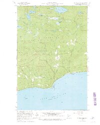
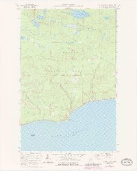
Editions of this 1960 Kadunce River Map
4 editions found
Other maps of this area

1919 · Grand Marais
USGS Topo · 1:62,500

1954 · Two Harbors
USGS Topo · 1:250,000

1957 · Two Harbors
USGS Topo · 1:250,000

1958 · Two Harbors
USGS Topo · 1:250,000

1959 · Northern Light Lake
USGS Topo · 1:24,000

1959 · Pine Mountain
USGS Topo · 1:24,000

1959 · Tom Lake
USGS Topo · 1:24,000

1960 · Grand Marais
USGS Topo · 1:24,000
1960 · Kadunce Creek
USGS Topo · 1:24,000
1960 · Marr Island
USGS Topo · 1:24,000