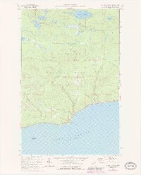
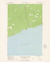
1960 Map of Kadunce River
USGS Topo · Published 1986About this map
Kadunce River State Park and the surrounding wilderness of the Superior National Forest define this 1960s landscape along the North Shore. The map reveals a complex network of waterways feeding into Lake Superior, with the Kadunce River and Kimball Creek carving through the terrain toward the shoreline. Interior lakes such as Trout Lake, Kimball Lake, and Mink Lake are documented alongside recreational infrastructure like the Kimball Lake Campground, illustrating the area's development for public use and conservation. Near the coast, distinct coastal landmarks like Red Cliff and the offshore Five Mile Rock provide essential points of orientation. Several Gravel Pits suggest local material extraction during the mid-century, while the dense contour lines illustrate the elevation changes typical of the Minnesota Arrowhead region before reaching the lake level.
Find a feature on this map
21 named features on this map. Tap any name to fly to it.
Don’t see what you’re looking for? This feature index may not catch every label — zoom into the map to look around manually.
Map Details
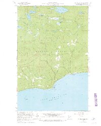
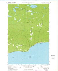
Editions of this 1960 Kadunce River Map
4 editions found
Other maps of this area

1919 · Grand Marais
USGS Topo · 1:62,500

1954 · Two Harbors
USGS Topo · 1:250,000

1957 · Two Harbors
USGS Topo · 1:250,000

1958 · Two Harbors
USGS Topo · 1:250,000

1959 · Northern Light Lake
USGS Topo · 1:24,000

1959 · Pine Mountain
USGS Topo · 1:24,000

1959 · Tom Lake
USGS Topo · 1:24,000

1960 · Grand Marais
USGS Topo · 1:24,000
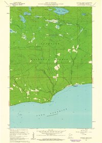
1960 · Kadunce Creek
USGS Topo · 1:24,000
1960 · Marr Island
USGS Topo · 1:24,000