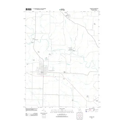
2012 Map of Kahoka
USGS Topo · Published 2012About this map
The Fox River and its numerous tributaries, including Wade Branch and Sugar Creek, define the landscape of northeast Missouri in this Clark County survey. The county seat of Kahoka serves as the central hub, showing a structured grid of streets like Cleveland St and Main St that give way to a pastoral network of farm-to-market roads. Historical industry is notably preserved through labels for the Johnson and Sanford Water Mill near Waterloo and the Holmes Saw Mill further north, indicating the enduring importance of local waterpower and timber. Genealogists will find a wealth of data points across the rural township, from the Saint Paul Cemetery to the isolated Northrup Cemetery. The presence of the Number 14 Reservoir and various family-named impoundments like Hiller Lake Dam reflects the region's managed water resources for agriculture and local use.
Find a feature on this map
45 named features on this map. Tap any name to fly to it.
Don’t see what you’re looking for? This feature index may not catch every label — zoom into the map to look around manually.
Map Details
Editions of this 2012 Kahoka Map
This is the sole edition of this map. No revisions or reprints were ever made.
Other maps of this area

1903 · Kahoka
USGS Topo · 1:125,000

1949 · Wayland
USGS Topo · 1:24,000

1949 · Kahoka SE
USGS Topo · 1:24,000

1949 · Kahoka
USGS Topo · 1:24,000

1949 · St. Patrick
USGS Topo · 1:24,000

1950 · Kahoka
USGS Topo · 1:24,000

1950 · Saint Patrick
USGS Topo · 1:24,000

1950 · Kahoka SE
USGS Topo · 1:24,000

1950 · Wayland
USGS Topo · 1:24,000

1950 · Neeper
USGS Topo · 1:24,000