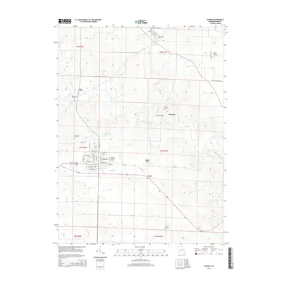
2014 Map of Kahoka
USGS Topo · Published 2014About this map
The city of Kahoka serves as the central hub of this Clark County landscape, featuring a detailed street grid including W Main St, E Commercial St, and N Lincoln St. The area's aviation and transport infrastructure is represented by the Kahoka Municipal Airport and the Number 14 Reservoir just north of the city. To the northeast, the smaller settlements of Revere, Waterloo, and Clark City anchor rural farming communities connected by a network of local roads and creek crossings.
Find a feature on this map
58 named features on this map. Tap any name to fly to it.
Don’t see what you’re looking for? This feature index may not catch every label — zoom into the map to look around manually.
Map Details
Editions of this 2014 Kahoka Map
This is the sole edition of this map. No revisions or reprints were ever made.
Other maps of this area

1903 · Kahoka
USGS Topo · 1:125,000

1949 · Wayland
USGS Topo · 1:24,000

1949 · Kahoka SE
USGS Topo · 1:24,000

1949 · Kahoka
USGS Topo · 1:24,000

1949 · St. Patrick
USGS Topo · 1:24,000

1950 · Kahoka
USGS Topo · 1:24,000

1950 · Saint Patrick
USGS Topo · 1:24,000

1950 · Kahoka SE
USGS Topo · 1:24,000

1950 · Wayland
USGS Topo · 1:24,000

1950 · Neeper
USGS Topo · 1:24,000