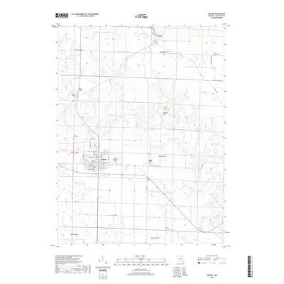
2017 Map of Kahoka
USGS Topo · Published 2017About this map
Kahoka serves as the focal point of this Clark County landscape, featuring a detailed street grid including W Main St and E Commercial St, alongside the Kahoka Municipal Airport. The area is defined by its network of winding waterways like the Fox River and Sugar Creek, which are spanned by named structures such as Holmes Bridge and Sherwood Bridge. To the north, the settlement of Revere is situated near several burial grounds including Northrup Cem and Revere Cem. This 2017 survey reflects a rural Missouri community where local genealogy is deeply etched into the land through numerous small cemeteries like Prairie Church Cem and Waterloo Cem, which dot the terrain between agricultural fields and the creek-fed valleys of Brush Cr and Honey Cr.
Find a feature on this map
56 named features on this map. Tap any name to fly to it.
Don’t see what you’re looking for? This feature index may not catch every label — zoom into the map to look around manually.
Map Details
Editions of this 2017 Kahoka Map
This is the sole edition of this map. No revisions or reprints were ever made.
Other maps of this area

1903 · Kahoka
USGS Topo · 1:125,000

1949 · Wayland
USGS Topo · 1:24,000

1949 · Kahoka SE
USGS Topo · 1:24,000

1949 · Kahoka
USGS Topo · 1:24,000

1949 · St. Patrick
USGS Topo · 1:24,000

1950 · Kahoka
USGS Topo · 1:24,000

1950 · Saint Patrick
USGS Topo · 1:24,000

1950 · Kahoka SE
USGS Topo · 1:24,000

1950 · Wayland
USGS Topo · 1:24,000

1950 · Neeper
USGS Topo · 1:24,000