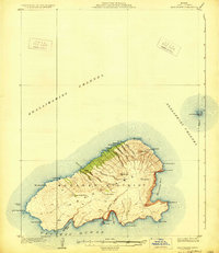
1929 Map of Kahoolawe
USGS Topo · Published 1929About this map
Kuheia and its surrounding gulches dominate the northern coast of this island landscape, surveyed in 1926 while Hawaii was still a United States Territory. The interior is characterized by significant topographic landmarks like the high point at Moaula and the volcanic craters of Lua Makika and Lua Kealialalo. Traces of indigenous presence are noted with the Heiau near Hakioawa, while the surrounding waters of the Kealaikahiki Channel and Alalakeiki Channel define the island's isolation from its neighbors in the Makawao District. The map detail extends to the crescent-shaped islet of Molokini to the northeast. Along the southern and eastern shorelines, numerous bays such as Kanapou Bay, Kamohio Bay, and Waikahalulu Bay indent the coast, providing a view of the island's perimeter before mid-century changes. Researchers can trace the drainage patterns of numerous named gulches, including Ahupuiki Gulch and Kaulana Gulch, which carve the slopes of this distinctive landmass.
Find a feature on this map
38 named features on this map. Tap any name to fly to it.
Don’t see what you’re looking for? This feature index may not catch every label — zoom into the map to look around manually.
Map Details
Editions of this 1929 Kahoolawe Map
3 editions found
Other maps of this area

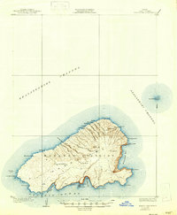
1929 · Kahoolawe
USGS Topo · 1:62,500

1954 · Maui
USGS Topo · 1:250,000

1954 · Maalaea
USGS Topo · 1:24,000

1955 · Olowalu
USGS Topo · 1:24,000

1966 · Maui
USGS Topo · 1:250,000

1974 · Maui
USGS Topo · 1:250,000
1983 · Olowalu
USGS Topo · 1:24,000
1983 · Maalaea
USGS Topo · 1:24,000
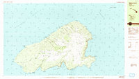
1984 · Kahoolawe
USGS Topo · 1:25,000
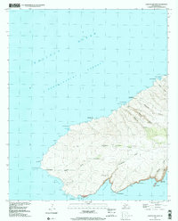
1991 · Kahoolawe West
USGS Topo · 1:24,000