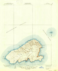
1929 Map of Kahoolawe
USGS Topo · Published 1947About this map
Lua Makika rises as the high point of this island landscape, part of the Makawao District during the late 1920s. The topography, surveyed by Bishop Moorhead, reveals a terrain defined by deep radial drainages like Waiki Gulch and Kaulana Gulch that reach toward the surrounding Kealaikahiki Channel and Alalakeiki Channel. Cultural markers of the Hawaiian landscape are preserved here, including a Heiau near Hakioawa and several distinct crater formations such as Lua Kealialuna. Small structures and infrastructure are sparse, noted only by an isolated Tank and a few named sites like Kuheia and Hanakanaea. Across the water to the northeast, the crescent-shaped islet of Molokini stands in the channel. This survey provides a look at the island's physical character and traditional place names before the mid-century shifts in land use.
Find a feature on this map
44 named features on this map. Tap any name to fly to it.
Don’t see what you’re looking for? This feature index may not catch every label — zoom into the map to look around manually.
Map Details
Editions of this 1929 Kahoolawe Map
3 editions found
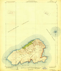
Other maps of this area

1929 · Kahoolawe
USGS Topo · 1:62,500

1954 · Maui
USGS Topo · 1:250,000

1954 · Maalaea
USGS Topo · 1:24,000

1955 · Olowalu
USGS Topo · 1:24,000

1966 · Maui
USGS Topo · 1:250,000

1974 · Maui
USGS Topo · 1:250,000
1983 · Olowalu
USGS Topo · 1:24,000
1983 · Maalaea
USGS Topo · 1:24,000
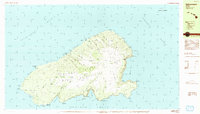
1984 · Kahoolawe
USGS Topo · 1:25,000
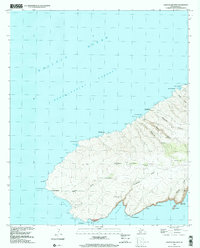
1991 · Kahoolawe West
USGS Topo · 1:24,000