
1929 Map of Kahoolawe
USGS Topo · Published 1929About this map
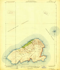
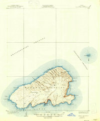
Kahoolawe Island was surveyed in 1926 while under the territorial administration of Governor Wallace R. Farrington. This topographical record of the Makawao District shows the island's terrain before mid-century military activity, documenting significant cultural and geographical sites including a Heiau near Hakioawa and several Tanks used for water storage. The map identifies key interior craters such as Lua Makika and Lua Kealialalo, alongside coastal points like Lae o Kuikui and the small crescent of Molokini in the Alalakeiki Channel. The absence of large permanent settlements is clear, with naming focused on natural features and coastal bays like Kanapou Bay and Kamohio Bay, reflecting a landscape primarily used for ranching and fishing during the late 1920s.
Find a feature on this map
35 named features on this map. Tap any name to fly to it.
Don’t see what you’re looking for? This feature index may not catch every label — zoom into the map to look around manually.
Map Details
Editions of this 1929 Kahoolawe Map
3 editions found
Other maps of this area

1954 · Maui
USGS Topo · 1:250,000

1954 · Maalaea
USGS Topo · 1:24,000

1955 · Olowalu
USGS Topo · 1:24,000

1966 · Maui
USGS Topo · 1:250,000

1974 · Maui
USGS Topo · 1:250,000
1983 · Olowalu
USGS Topo · 1:24,000
1983 · Maalaea
USGS Topo · 1:24,000
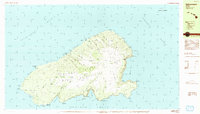
1984 · Kahoolawe
USGS Topo · 1:25,000
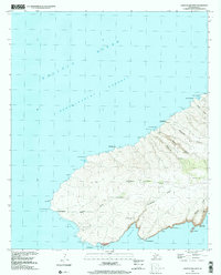
1991 · Kahoolawe West
USGS Topo · 1:24,000
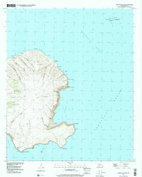
1991 · Kahoolawe East
USGS Topo · 1:24,000