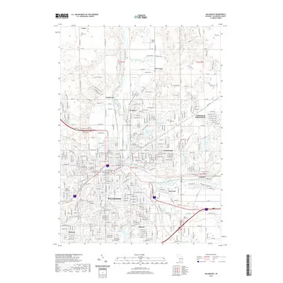
2019 Map of Kalamazoo
USGS Topo · Published 2019About this map
The Kalamazoo River carves through the heart of this landscape, anchoring a dense network of residential and industrial development that characterizes this part of southwest Michigan. In Kalamazoo, the Kalamazoo County Courthouse stands near the historic core, while the campuses of Kalamazoo College and Western Michigan University define the western portion of the city. To the north, the industrial character of Parchment is evident, while to the east, Comstock and Eastwood show a mix of early 21st-century suburban growth and traditional land use.
Find a feature on this map
47 named features on this map. Tap any name to fly to it.
Don’t see what you’re looking for? This feature index may not catch every label — zoom into the map to look around manually.
Map Details
Editions of this 2019 Kalamazoo Map
This is the sole edition of this map. No revisions or reprints were ever made.
Other maps of this area

1916 · Kalamazoo
USGS Topo · 1:62,500

1918 · Kalamazoo
USGS Topo · 1:62,500

1918 · Galesburg
USGS Topo · 1:62,500

1918 · Leonidas
USGS Topo · 1:62,500

1922 · Schoolcraft
USGS Topo · 1:62,500

1943 · Kalamazoo
USGS Topo · 1:62,500

1943 · Schoolcraft
USGS Topo · 1:62,500

1944 · Leonidas
USGS Topo · 1:62,500

1944 · Galesburg
USGS Topo · 1:62,500

1947 · Delton
USGS Topo · 1:24,000
Featured Places
- Kalamazoo, MI
- Parchment, MI
- Richland Township, MI
- Cooper Charter Township, MI
- Kalamazoo Charter Township, MI