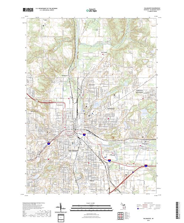
2023 Map of Kalamazoo
USGS Topo · Published 2023About this map
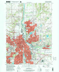
Kalamazoo serves as the dense urban core of this 2023 survey, where the Kalamazoo River and its various tributaries, including Portage Creek and Arcadia Creek, define the city's topography. The map illustrates a mature landscape of higher education and civic infrastructure, anchored by Western Michigan University and Kalamazoo College to the west, and the Kalamazoo County Michigan Avenue Courthouse at the city's heart. Industrial and residential patterns are clearly delineated, with the Grand Trunk Western RR corridor threading through the city and the Monarch Millpond reflecting historic manufacturing roots to the south.
Find a feature on this map
352 named features on this map. Tap any name to fly to it.
Don’t see what you’re looking for? This feature index may not catch every label — zoom into the map to look around manually.
Map Details
Editions of this 2023 Kalamazoo Map
This is the sole edition of this map. No revisions or reprints were ever made.
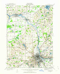
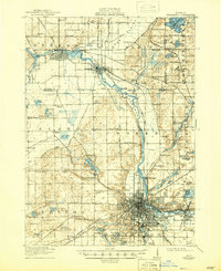
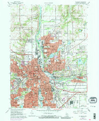
Historical Maps of Kalamazoo Through Time
7 maps found


Featured Locations
- Richland Township, MI
- Cooper Charter Township, MI
- Kalamazoo, MI
- Kalamazoo Charter Township, MI
- Parchment, MI