1916 Map of Kalamazoo
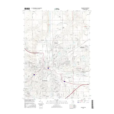
USGS Topo · Published 1960About this map
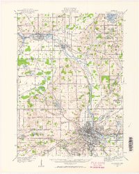
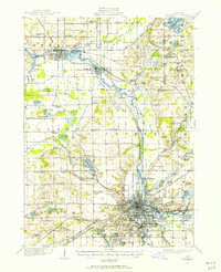
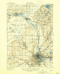
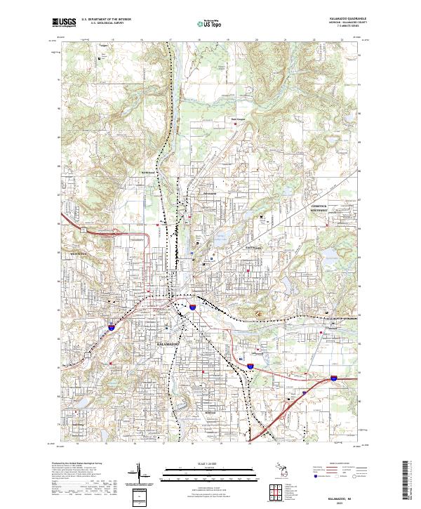
The Kalamazoo River anchors this regional landscape, winding northwest from the city of Kalamazoo through the paper-mill industrial corridor at Parchment toward Plainwell and Otsego. At the time of this 1916 survey, the area was a dense network of early 20th-century transportation, featuring the New York Central RR, Michigan Central RR, and Grand Trunk RR alongside historic corridors like the Chicago Road and Territorial Road.
Find a feature on this map
108 named features on this map. Tap any name to fly to it.
Don’t see what you’re looking for? This feature index may not catch every label — zoom into the map to look around manually.
Map Details
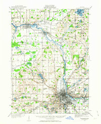
Editions of this 1916 Kalamazoo Map
3 editions found
Historical Maps of Kalamazoo Through Time
11 maps found
1916 Kalamazoo
Kalamazoo County, MI
1918 Kalamazoo
Kalamazoo County, MI

1943 Kalamazoo
Kalamazoo County, MI
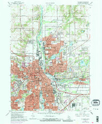
1967 Kalamazoo
Kalamazoo County, MI

1982 Kalamazoo
Kalamazoo County, MI
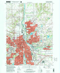
1995 Kalamazoo
Kalamazoo County, MI
2011 Kalamazoo
Kalamazoo County, MI
2014 Kalamazoo
Kalamazoo County, MI
2017 Kalamazoo
Kalamazoo County, MI
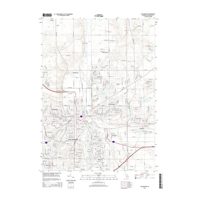
2019 Kalamazoo
Kalamazoo County, MI
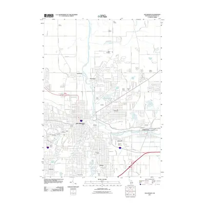
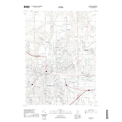
2023 Kalamazoo
Kalamazoo County, MI