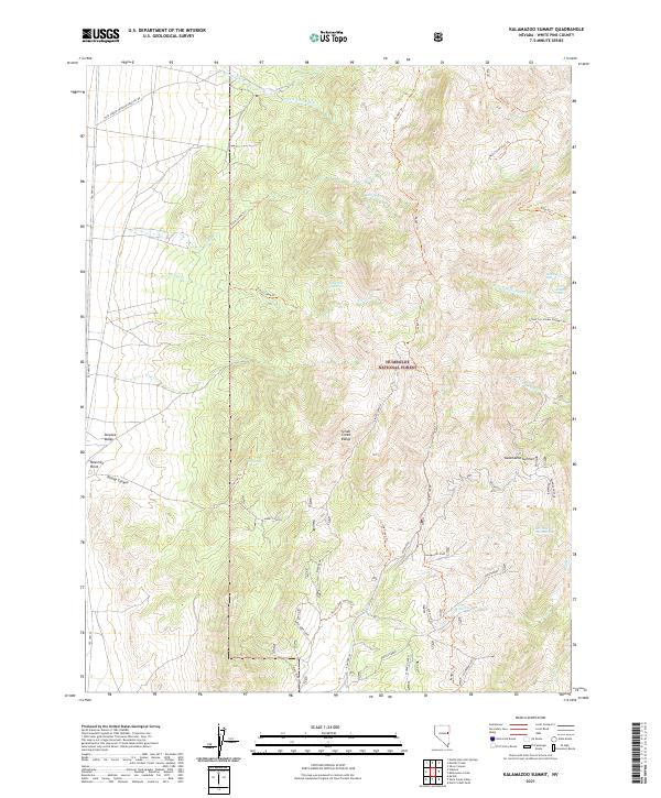
2021 Map of Kalamazoo Summit
USGS Topo · Published 2021About this map
Kalamazoo Summit serves as a central landmark within this portion of the Humboldt National Forest, where the high-altitude terrain of the Schell Creek Range meets the open Steptoe Valley. The map details a specialized network of trails and resource sites, including several named claims or locations such as Fera One Hundred, Fera Ninety Four, and Ice Cream Springs. These features, along with the distinct Birds Beak formation, suggest a history of localized mining or land management in the rugged interior of White Pine County.
Find a feature on this map
46 named features on this map. Tap any name to fly to it.
Don’t see what you’re looking for? This feature index may not catch every label — zoom into the map to look around manually.
Map Details
Editions of this 2021 Kalamazoo Summit Map
This is the sole edition of this map. No revisions or reprints were ever made.
Other maps of this area

1952 · Ely
USGS Topo · 1:125,000

1956 · Ely
USGS Topo · 1:250,000

1958 · McGill
USGS Topo · 1:24,000

1958 · McGill
USGS Topo · 1:62,500

1959 · Ely
USGS Topo · 1:250,000

1959 · Schell Peaks
USGS Topo · 1:62,500

1963 · Ely
USGS Topo · 1:250,000

1981 · North Schell Peak
USGS Topo · 1:24,000

1981 · Duck Creek Valley
USGS Topo · 1:24,000
1982 · Kalamazoo Creek
USGS Topo · 1:24,000