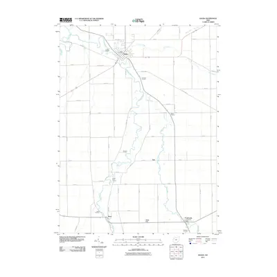
2010 Map of Kalida
USGS Topo · Published 2010About this map
Kalida and Vaughnsville anchor this rural landscape in Putnam County, where the meandering Ottawa River and its tributaries define the local geography. The river system, including Sugar Creek and Plum Creek, winds through a grid of section-line roads, illustrating the systematic agricultural development of northwest Ohio. This survey serves as a census of local genealogy, documenting numerous burial grounds such as the Saint Michaels Cemetery near the village center and more isolated sites like the Ottawa River Cemetery and Keirns Cemetery. Small rural clusters like Rimer, Seitz, and Jones City appear along the southern transit corridors, while the presence of the Kalida Post Office and Vaughnsville Post Office marks the primary hubs of commerce and community for the surrounding farmsteads.
Find a feature on this map
48 named features on this map. Tap any name to fly to it.
Don’t see what you’re looking for? This feature index may not catch every label — zoom into the map to look around manually.
Map Details
Editions of this 2010 Kalida Map
This is the sole edition of this map. No revisions or reprints were ever made.
Other maps of this area

1906 · Columbus Grove
USGS Topo · 1:62,500

1908 · Columbus Grove
USGS Topo · 1:62,500

1908 · Ottawa
USGS Topo · 1:62,500

1909 · Continental
USGS Topo · 1:62,500

1911 · Delphos
USGS Topo · 1:62,500

1944 · Delphos
USGS Topo · 1:62,500

1953 · Fort Wayne
USGS Topo · 1:250,000

1953 · Muncie
USGS Topo · 1:250,000

1956 · Muncie
USGS Topo · 1:250,000

1956 · Fort Wayne
USGS Topo · 1:250,000