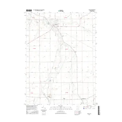
2016 Map of Kalida
USGS Topo · Published 2016About this map
Kalida sits at the heart of this landscape in Putnam County, positioned where the Ottawa River and Plum Creek converge. The area is defined by its agricultural layout and a network of rural watercourses, including Sugar Creek and the Auglaize River in the northwest corner. This 2016 survey documents the small-town footprints and the surrounding township sections, showing the persistence of local settlements like Vaughnsville, Rimer, and Jones City.
Find a feature on this map
115 named features on this map. Tap any name to fly to it.
Don’t see what you’re looking for? This feature index may not catch every label — zoom into the map to look around manually.
Map Details
Editions of this 2016 Kalida Map
This is the sole edition of this map. No revisions or reprints were ever made.
Other maps of this area

1906 · Columbus Grove
USGS Topo · 1:62,500

1908 · Columbus Grove
USGS Topo · 1:62,500

1908 · Ottawa
USGS Topo · 1:62,500

1909 · Continental
USGS Topo · 1:62,500

1911 · Delphos
USGS Topo · 1:62,500

1944 · Delphos
USGS Topo · 1:62,500

1953 · Fort Wayne
USGS Topo · 1:250,000

1953 · Muncie
USGS Topo · 1:250,000

1956 · Muncie
USGS Topo · 1:250,000

1956 · Fort Wayne
USGS Topo · 1:250,000